

Wir starten die Tour in Appenzell Dorf. Von da an geht es über Lehn leicht ansteigend in Richtung Hirschberg. Kurz vor dem Gasthof Hoher Hirschberg links einen Singletrail runter durch Wald und Wiesen nach Gais, Dann wieder aufwärts durch einen Wald zum Hirschberg und wieder einen Singletrail abwärts nach Eggerstanden. Von Eggerstanden geht es meist auf Schotter und Asphalt zum Montlinger Schwamm und weiter aufwärts bis zur Abzweigung in Richtung Ruhesitz. Ab hier abwärts über einen schönen Singletrail bis zum Ruhesitz und über die Straße weiter hinunter nach Brülisau und schließlich zurück nach Appenzell.
Sehr schöne, abwechslungsreiche Tour mit zahlreichen Möglichkeiten zum Einkehren!
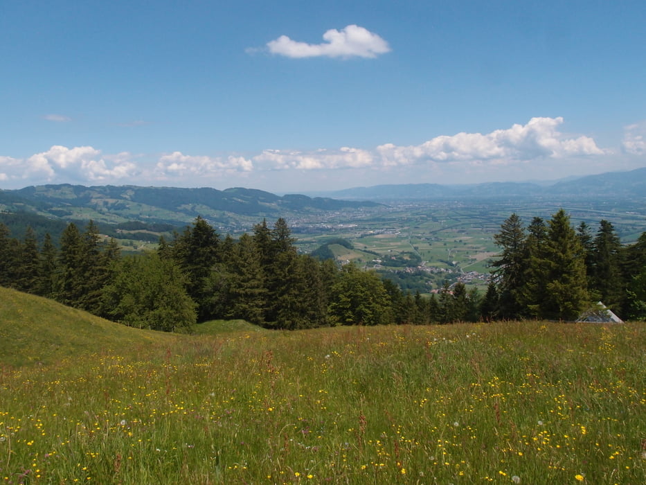
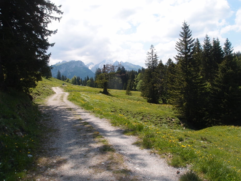
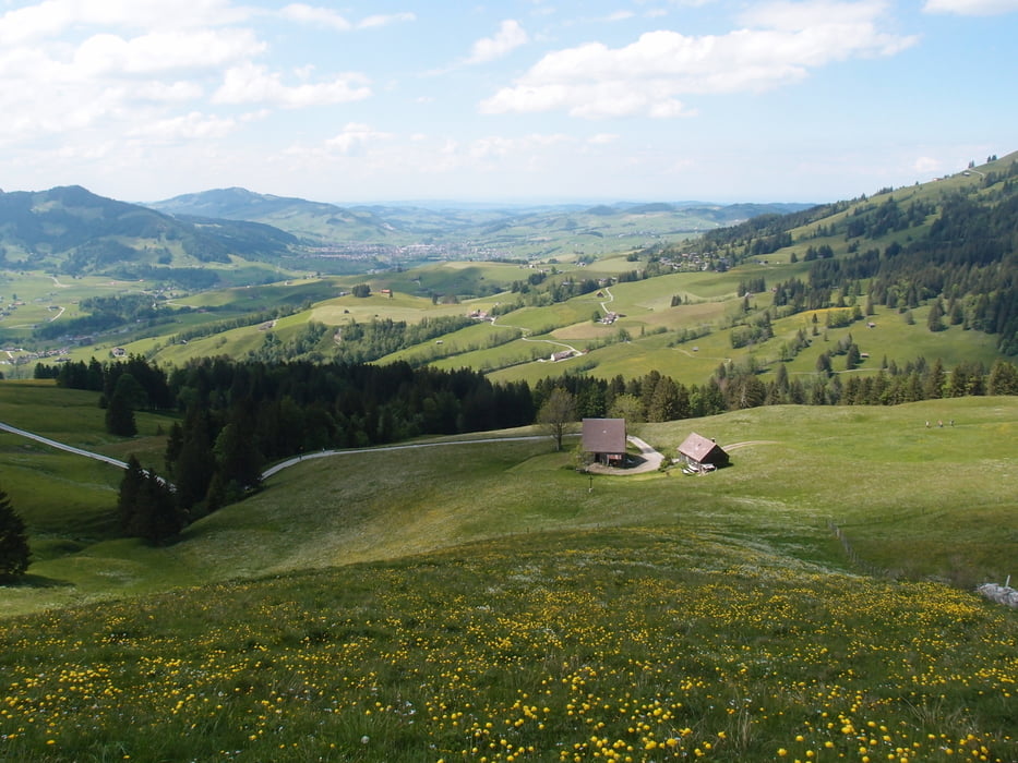
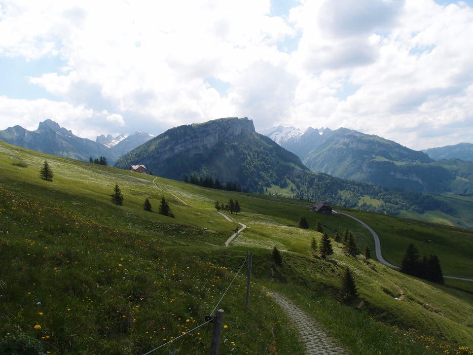
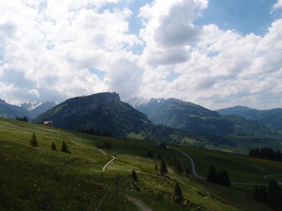
Tour gallery
Tour map and elevation profile
Minimum height 757 m
Maximum height 1286 m
More about the tour author
|
|
Gueni |
Comments

GPS tracks
Trackpoints-
GPX / Garmin Map Source (gpx) download
-
TCX / Garmin Training Center® (tcx) download
-
CRS / Garmin Training Center® (crs) download
-
Google Earth (kml) download
-
G7ToWin (g7t) download
-
TTQV (trk) download
-
Overlay (ovl) download
-
Fugawi (txt) download
-
Kompass (DAV) Track (tk) download
-
Track data sheet (pdf) download
-
Original file of the author (tcx) download
More about the tour author
|
|
Gueni |
Add to my favorites
Remove from my favorites
Edit tags
Open track
My score
Rate