
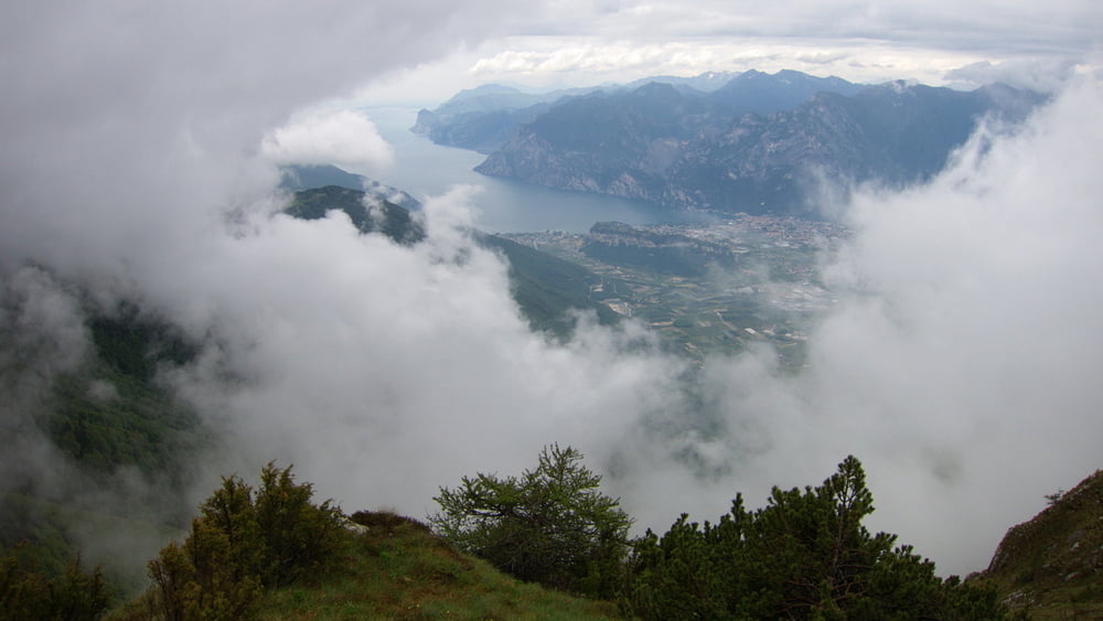

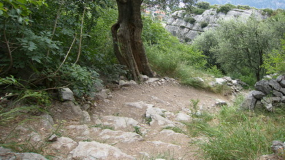
Knackiger Anstieg mit Steinpflaster, Teer, Waldtrail und Geröllpiste.
Bei den letzten ca. 150 Hm und der anschließenden Hangquerung mit leichter Kletterei
wird jeder irgendwann schieben. Ca. 30 Min.
Dann folgt eine 1700Hm Abfahrt mit kurzem Gegenanstieg.
Durchgeschüttelt kommt man in Arco an.
Auf einer Schotterpiste geht es angenehm auf 580m. Anschließend über Nago und die
Endurostrecke nach Torbole. Kurze Schiebestücke.
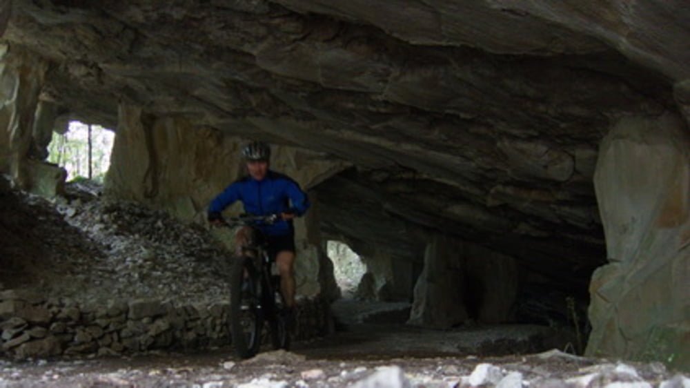
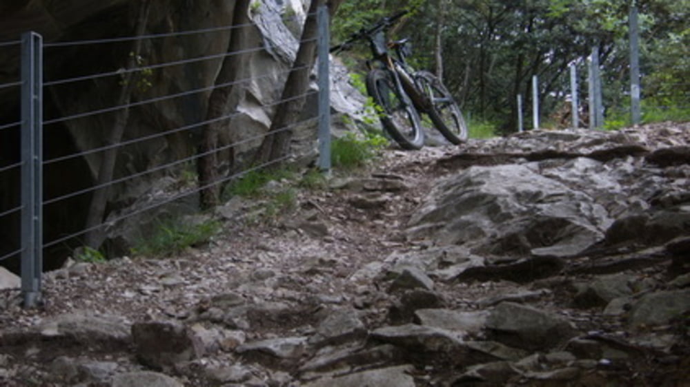
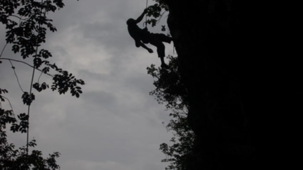
Tour gallery
Tour map and elevation profile
Minimum height 77 m
Maximum height 1776 m
More about the tour author
|
|
Traktion |
Comments

Start in Torbole
GPS tracks
Trackpoints-
GPX / Garmin Map Source (gpx) download
-
TCX / Garmin Training Center® (tcx) download
-
CRS / Garmin Training Center® (crs) download
-
Google Earth (kml) download
-
G7ToWin (g7t) download
-
TTQV (trk) download
-
Overlay (ovl) download
-
Fugawi (txt) download
-
Kompass (DAV) Track (tk) download
-
Track data sheet (pdf) download
-
Original file of the author (gpx) download
More about the tour author
|
|
Traktion |
Add to my favorites
Remove from my favorites
Edit tags
Open track
My score
Rate