


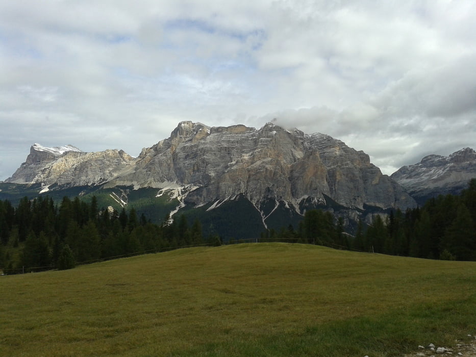
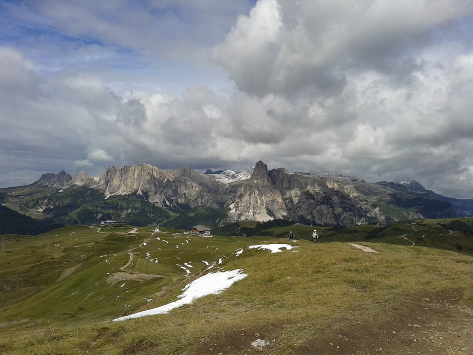
Zuerst gehts parallel zur Straße bis zum Ende der Häuser, wos dann nach rechts abbiegt. Auf einer Forststraße gehts bis über die Baumgrenze, wo man den 2200m hohen Störes (eher ein Gipfel als ein Berg) gut erreichen kann. Ein toller Blick über Monte Sief und Marmorlata im Süden, in die Geißlergruppe im Westen und die Fanes im Ostern bietet sich hier. Trotz der geringen Schartenhöhe bzw. Dominanz hat man naezu ein 360 Grad Panorama. Zurück gehts auch wieder über Forstwege bis zur Hauptstraße, auf der man auch ein paar Serpentienen genießen kann ;-)
Tour gallery
Tour map and elevation profile
Minimum height 1354 m
Maximum height 2147 m
More about the tour author
|
|
Seebi |
Comments

GPS tracks
Trackpoints-
GPX / Garmin Map Source (gpx) download
-
TCX / Garmin Training Center® (tcx) download
-
CRS / Garmin Training Center® (crs) download
-
Google Earth (kml) download
-
G7ToWin (g7t) download
-
TTQV (trk) download
-
Overlay (ovl) download
-
Fugawi (txt) download
-
Kompass (DAV) Track (tk) download
-
Track data sheet (pdf) download
-
Original file of the author (gpx) download
More about the tour author
|
|
Seebi |
Add to my favorites
Remove from my favorites
Edit tags
Open track
My score
Rate