
")

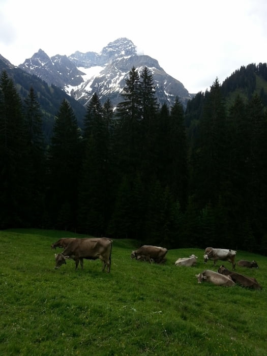
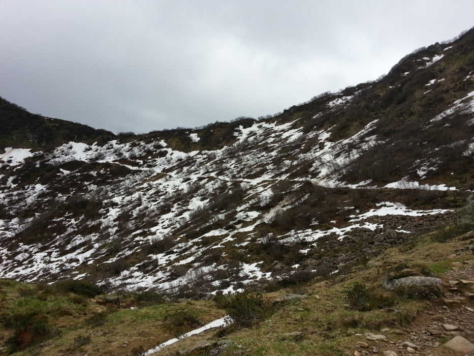
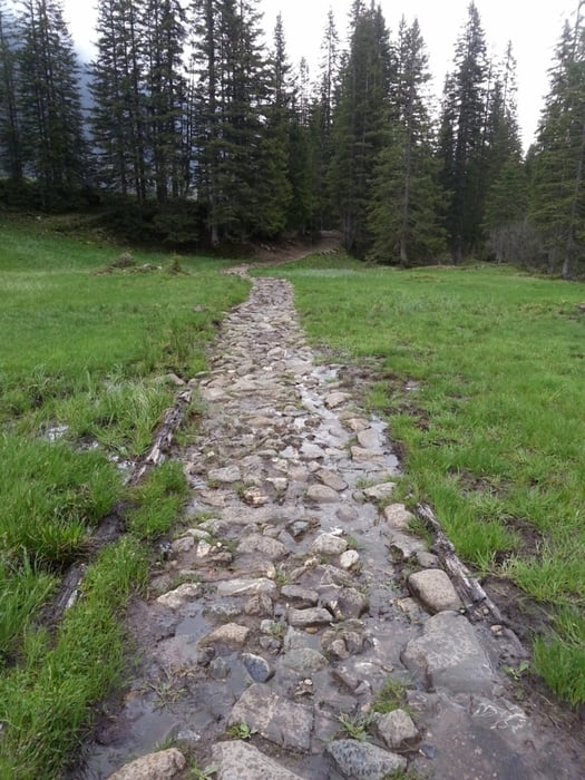
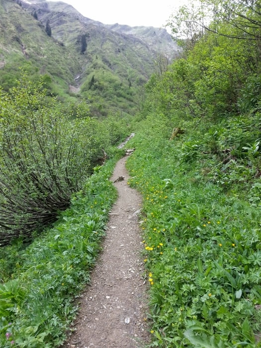
Start dieser Tour ist in Baad im Wanderparadies Kleinwalsertal. Von dort geht es nun entlang schönster Natur kernig bergauf zur Ochsenhofer Scharte. Das Wetter war mit uns leider nicht so gnädig, doch wie heißt es so schön: „Es gibt kein schlechtes Wetter sondern nur schlechte Kleidung! „ . Oben angekommen machten uns die Witterungsverhältnisse zu schaffen. Es lag, trotz des weit fortgeschrittenen Frühlings noch Schnee. Diesen überquerten wir erfolgreich Richtung Schwarzwasserhütte, die uns eine Einkehrmöglichkeit bot. Weiter geht es über ein Hochmoor hinweg auf herrlichen Pfaden nach Riezlern. Hier angekommen führen wir mir dem Bus wieder zum Ausgangspunkt zurück.
Viel Spaß
Tour gallery
Tour map and elevation profile
Minimum height 1031 m
Maximum height 1845 m
More about the tour author
|
|
volker67 |
Comments

GPS tracks
Trackpoints-
GPX / Garmin Map Source (gpx) download
-
TCX / Garmin Training Center® (tcx) download
-
CRS / Garmin Training Center® (crs) download
-
Google Earth (kml) download
-
G7ToWin (g7t) download
-
TTQV (trk) download
-
Overlay (ovl) download
-
Fugawi (txt) download
-
Kompass (DAV) Track (tk) download
-
Track data sheet (pdf) download
-
Original file of the author (gpx) download
More about the tour author
|
|
volker67 |
Add to my favorites
Remove from my favorites
Edit tags
Open track
My score
Rate