


Schöne Touir von Salo startend
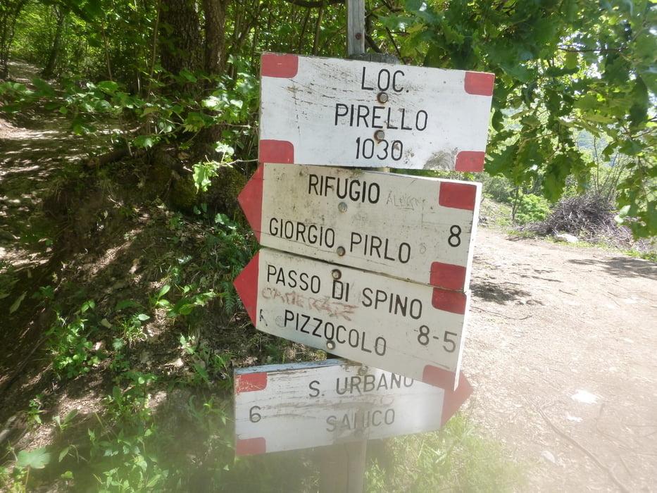
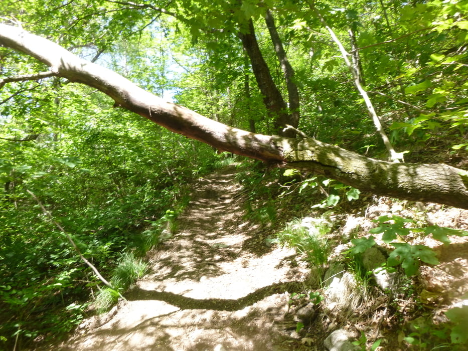
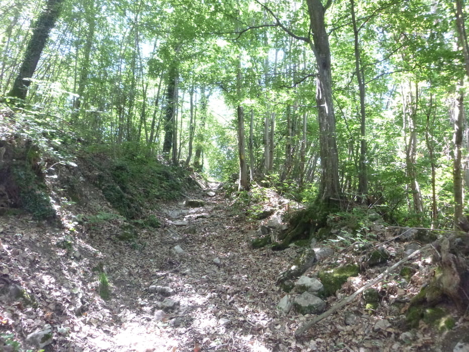
Leichte Steigung z Beginn auf Asphaltstraße nach St Michele.Von hier teils recht heftige Srteigung auf Schotter und Betonrampen bis zum höchsten Punkt Il pirello.(Wegweiser). rechts weiter auf schönen flowigen Singletrail.danach noch kurze Steigung bis zum Einstieg in Trailabschnitt 2. Würde ich mit S1-S2 einschätzen,macht richtig Spaß.
In St.Michele ankommend haltet man sich links und es geht ein längeres Stück auf Asphalt Richtung Salo.Bei einer Linkkskurve geht ein Pfad recht weg.(Wiese)Hier geht es bald in einem Bachbett auf Spitzkehren runter in eine Art Schlucht..Bis zu einer Stahl/Steinbrücke(nicht überqueren).hier weiter nach links in ganz schmalen Pfade(teils zu schmal zum Fahren) weiter./Optisch ein voller Genuss/.Ausgang ist eine ziemlich schmale Treppe.(Alte verfallene Mühle)Von hier sind es nur mehr wenig Kilometer zum Ausgangspunkt.
Tour gallery
Tour map and elevation profile
Minimum height 79 m
Maximum height 1003 m
More about the tour author
|
|
josef_zinganel |
Comments

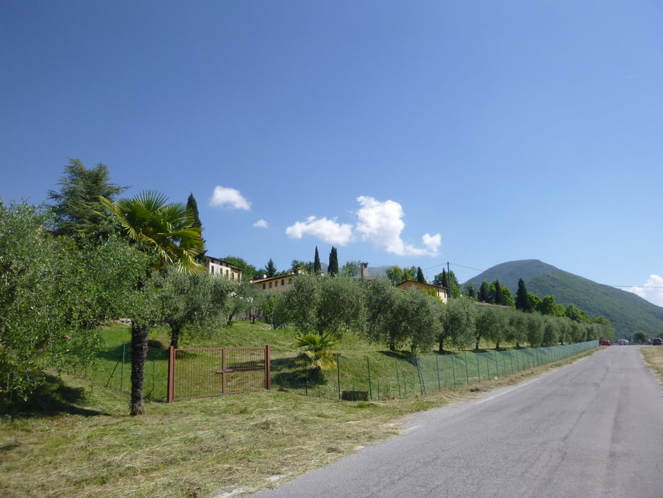
Ausgangspunkt ist Die Straße Gardesana bei Salo
bei der Unterführung(Einmündung Salo) links vorbei und danach gleich rechts auf wenig befahrener Asphaltsraße Richtung St Michele
GPS tracks
Trackpoints-
GPX / Garmin Map Source (gpx) download
-
TCX / Garmin Training Center® (tcx) download
-
CRS / Garmin Training Center® (crs) download
-
Google Earth (kml) download
-
G7ToWin (g7t) download
-
TTQV (trk) download
-
Overlay (ovl) download
-
Fugawi (txt) download
-
Kompass (DAV) Track (tk) download
-
Track data sheet (pdf) download
-
Original file of the author (gpx) download
More about the tour author
|
|
josef_zinganel |
Add to my favorites
Remove from my favorites
Edit tags
Open track
My score
Rate