


Kurzweilige Singletrailrunde bei Riva
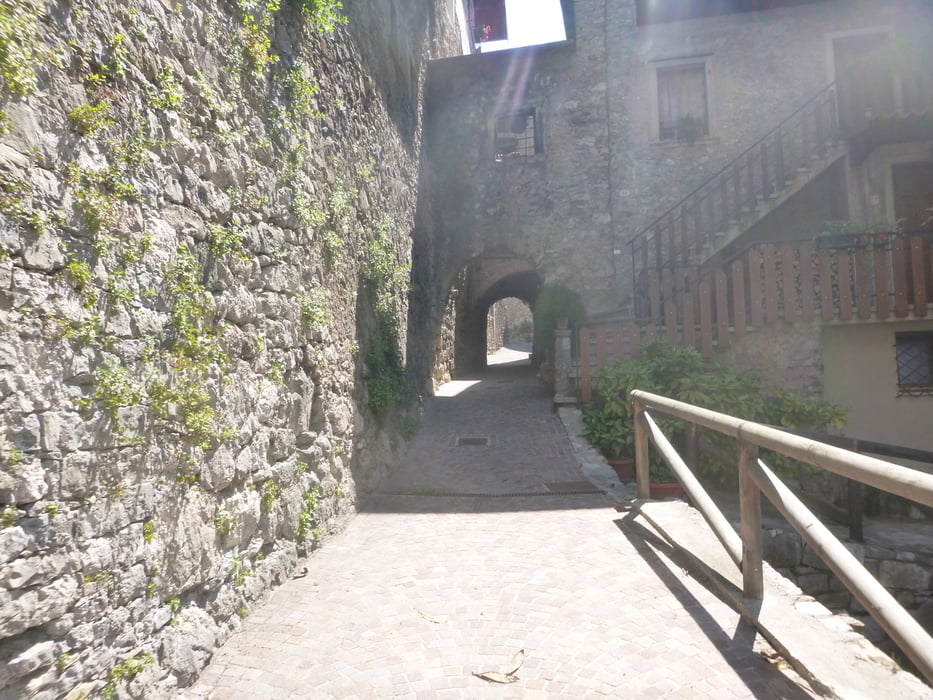
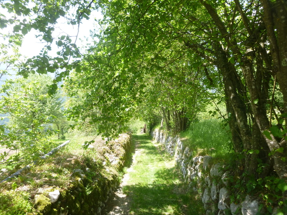
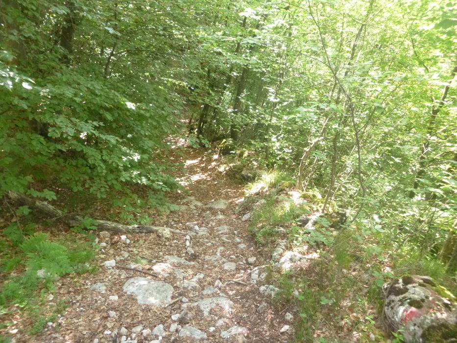
Start in Torbole auf Radwegen Richtung Tenno,weiter nach Canale von wo es etwas steiler wird.Ich bin noch zur Pietro Hütte gefahren.Der Traileinstieg beginnt bei einem Trafohäuschen.Am Anfang noch ziemlich leicht,wird er später doch noch etwas ruppiger(max S1-S2) bir runter nach Canale.hier weiter auf Forstwegen nach Tenno und vor der Burg links ind den Trail der die letzten Höhenmeter vernichtet.Zurück wieder auf Radwegen Richtung Riva.
Tour gallery
Tour map and elevation profile
Minimum height 53 m
Maximum height 974 m
More about the tour author
|
|
josef_zinganel |
Comments

Start in Torbole oder Riva
Nach Tunnel gleich rechts in den Fahrweg(später Radweg
GPS tracks
Trackpoints-
GPX / Garmin Map Source (gpx) download
-
TCX / Garmin Training Center® (tcx) download
-
CRS / Garmin Training Center® (crs) download
-
Google Earth (kml) download
-
G7ToWin (g7t) download
-
TTQV (trk) download
-
Overlay (ovl) download
-
Fugawi (txt) download
-
Kompass (DAV) Track (tk) download
-
Track data sheet (pdf) download
-
Original file of the author (gpx) download
More about the tour author
|
|
josef_zinganel |
Add to my favorites
Remove from my favorites
Edit tags
Open track
My score
Rate