
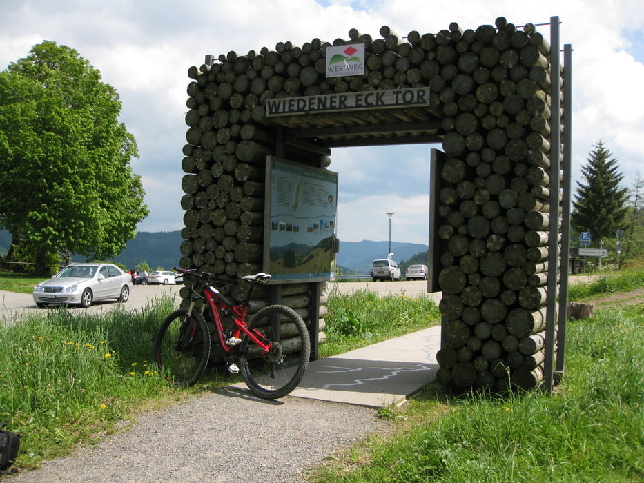

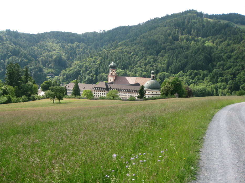
Zum Schauinsland ging es über Kappel den Teerweg hoch zum Leopold Stollen. Dann weiter Richtung Rappeneckhof. Den Single Trail am Schluss würde ich gerne mal in die andere Richtung fahren. Vom Schauinsland dann auf bekannten Wegen zum Wiedener Eck. Die Verlockung gleich weiter zum Belchen zu fahren war schon sehr groß, aber mir war dann am Schluß doch das Wetter nicht gut genug. Mir total unbekannten Wanderwegen folgend landete ich in Münstertal. In Etzenbach sah ein Biergarten so aus als ob er super Wurstsalat machen könnte (und er konnte). Nach der Pause dann auf Fahrradwegen nach Staufen, Ehrenstetten nach Sölden. Den Schönberg wollte ich am Schluss dann doch nicht ganz links liegen lassen und habe mir die paar Höhenmeter auch noch gegönnt.
Further information at
http://www.mtb2014.de/wiedener-eckTour gallery
Tour map and elevation profile
Minimum height 232 m
Maximum height 1234 m
More about the tour author

|
hschmidle |
Comments

GPS tracks
Trackpoints-
GPX / Garmin Map Source (gpx) download
-
TCX / Garmin Training Center® (tcx) download
-
CRS / Garmin Training Center® (crs) download
-
Google Earth (kml) download
-
G7ToWin (g7t) download
-
TTQV (trk) download
-
Overlay (ovl) download
-
Fugawi (txt) download
-
Kompass (DAV) Track (tk) download
-
Track data sheet (pdf) download
-
Original file of the author (gpx) download
More about the tour author
|
|
hschmidle |
Add to my favorites
Remove from my favorites
Edit tags
Open track
My score
Rate