Login

Forgot your login?

Cookies have to be accepted!
Your browser's cookie functionality is disabled. Please enable this functionality.

Not a member yet?

Register now
Login

Available for registred users only

Log in to use this feature.

Forgot your login?

Cookies have to be accepted!
Your browser's cookie functionality is disabled. Please enable this functionality.

Not a member yet?

Register now
Filter
Categories
Advanced filters
  • Distance (km)
  • Height
Save filters Reset filter

TrackRank

QRCode

Technical data

Distance8,6 km Height965 m Way down972 m Duration03:00 h:m Date06.06.2014
Scores Author Landscape Fun factor Fitness Technique

Statistics

1089 Views Scores 51 Downloads Average
Rate
  • Track data sheet
  • Directions
  • Downloads

Aufstieg: 02 Stunden 30min.

Abfahrt: 30min

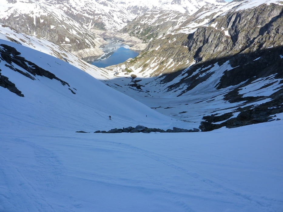
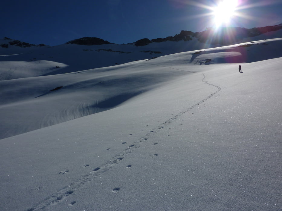
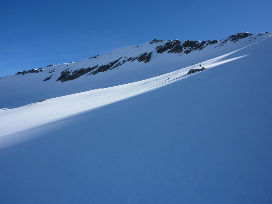
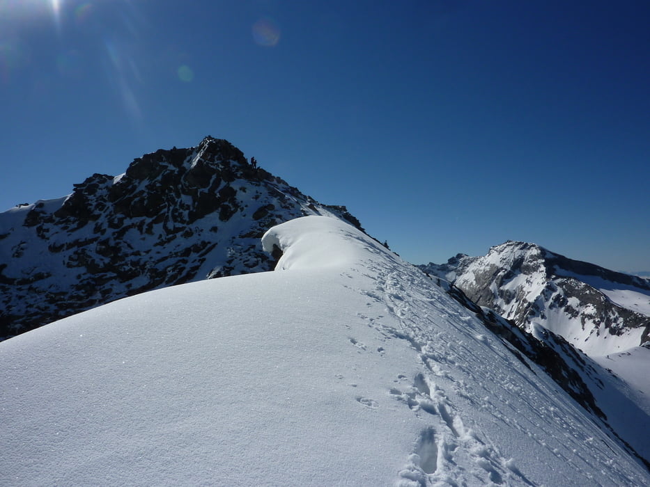
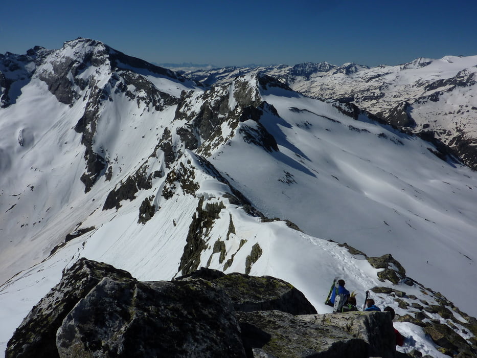
Vom Kölnbreinstüberl in Richtung NO zum Kölnbreinkar, rechts unter den Felswänden vorbei und weiter zum bereits sichtbaren Gipfel.

Abfahrt wie Aufstieg.


Tour gallery

Tour map and elevation profile

  • Open Street Map
  • Google
Minimum height 1833 m Maximum height 2826 m Detailed view

More about the tour author

harald07071
Member since 2008

Send private message

Comments

Auf der A10 Abfahrt Gmünd und dann ins Maltatal zur Hochalpenstr. bis zur Kölnbreinsperre.


GPS tracks

Trackpoints
  • GPX / Garmin Map Source (gpx) download
  • TCX / Garmin Training Center® (tcx) download
  • CRS / Garmin Training Center® (crs) download
  • Google Earth (kml) download
  • G7ToWin (g7t) download
  • TTQV (trk) download
  • Overlay (ovl) download
  • Fugawi (txt) download
  • Kompass (DAV) Track (tk) download
  • Track data sheet (pdf) download
  • Original file of the author (gpx) download

More about the tour author

harald07071
Member since 2008

Send private message
Share track
Add to my favorites
Remove from my favorites
Edit tags
My score
Rate
Track: Kölnbreinspitze (2934m)
Type: Ski touring
Distance: 8,6 km
Evaluated on:
Duration:
Day(s)
Hour(s)
Minute(s)
Score: Landscape Fun factor Fitness Technique