


Startpunkt: Vallon Pont d`Arc
Ziel: Saint Martin
Transfer von Vallon Pont d`Arc nach Chames durch die Veranstalter....übergabe der Kajak und der sonstigen Ausrüstung!
Kurze Info wie verhalten und ab in die Fluten =:o)
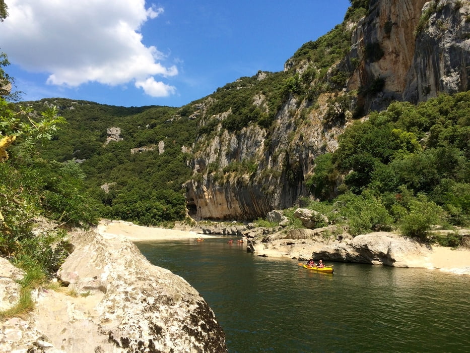
Strecke: 25 km
als ungeübte Kajakerin war ich am Aben durch....es hatte keine grossen Strömungen und daher musste eigetlich immer wieder gepaddelt werden. =:o)
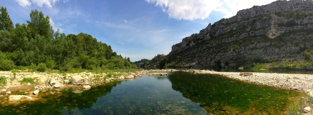
Unterwegs hat es immer eine möglichkeit anzuhalten und zu geniessen oder auch in der Ardeche zu baden =:o)
in Saint Martin wird man dann wieder in Empfang genommen und zurückgefahren!
Further information at
http://www.ardeche-location-canoe.comTour gallery

Tour map and elevation profile
Minimum height 66 m
Maximum height 186 m
More about the tour author
|
|
zoetteler |
Comments

GPS tracks
Trackpoints-
GPX / Garmin Map Source (gpx) download
-
TCX / Garmin Training Center® (tcx) download
-
CRS / Garmin Training Center® (crs) download
-
Google Earth (kml) download
-
G7ToWin (g7t) download
-
TTQV (trk) download
-
Overlay (ovl) download
-
Fugawi (txt) download
-
Kompass (DAV) Track (tk) download
-
Track data sheet (pdf) download
-
Original file of the author (gpx) download
More about the tour author
|
|
zoetteler |
Add to my favorites
Remove from my favorites
Edit tags
Open track
My score
Rate