


Diese Tour führt zum sehr schönen Aussichtsberg der Loibersbacher Höhe und sie bietet mit der Döllerer Almhütte auch ein idyllisches Plätzchen zum Einkehren.
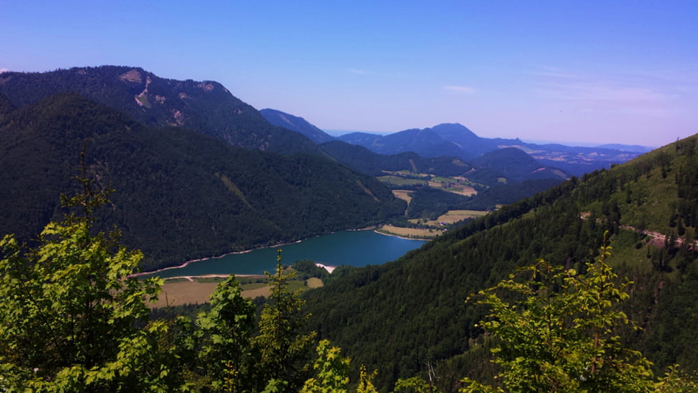
Wir wollen uns jedoch nicht mit der Loibersbacher Höhe alleine begnügen sondern gehen von dort einen selten begangenen Weg und verbinden diesen als Runde. Neben der schönen Rundumsicht auf der Loibersbacher Höhe bietet der Blick auf den Hintersee ein weiteres Highlight dieser Tour.
Further information at
http://www.satcom.at/wanderungen/Tour gallery


Tour map and elevation profile
Minimum height 931 m
Maximum height 1444 m
More about the tour author
|
|
GarminSalzburg |
Comments

In Faistenau achten Sie auf die Abzweigung Richtung Tiefbrunnau. Und dann einfach dem Routenplaner folgen. Am Ausgangspunkt der Tour befindet sich ein relativ großer Parkplatz.
GPS tracks
Trackpoints-
GPX / Garmin Map Source (gpx) download
-
TCX / Garmin Training Center® (tcx) download
-
CRS / Garmin Training Center® (crs) download
-
Google Earth (kml) download
-
G7ToWin (g7t) download
-
TTQV (trk) download
-
Overlay (ovl) download
-
Fugawi (txt) download
-
Kompass (DAV) Track (tk) download
-
Track data sheet (pdf) download
-
Original file of the author (gpx) download
More about the tour author
|
|
GarminSalzburg |
Add to my favorites
Remove from my favorites
Edit tags
Open track
My score
Rate