


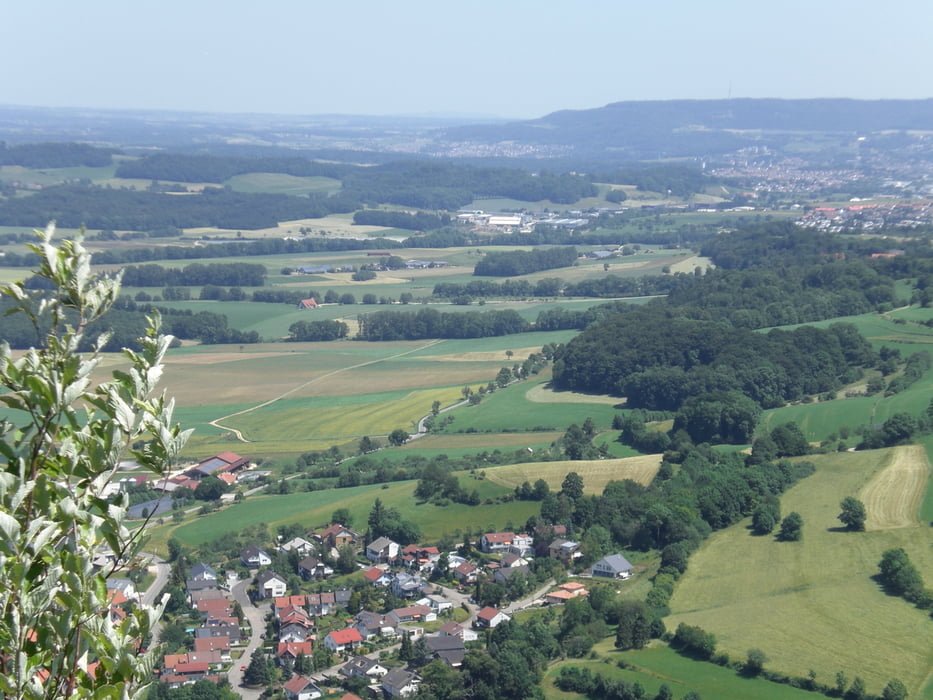
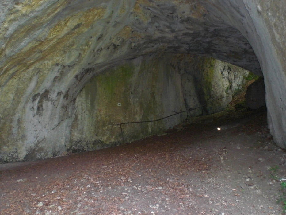
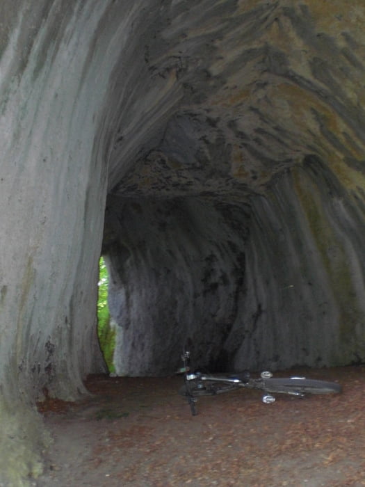
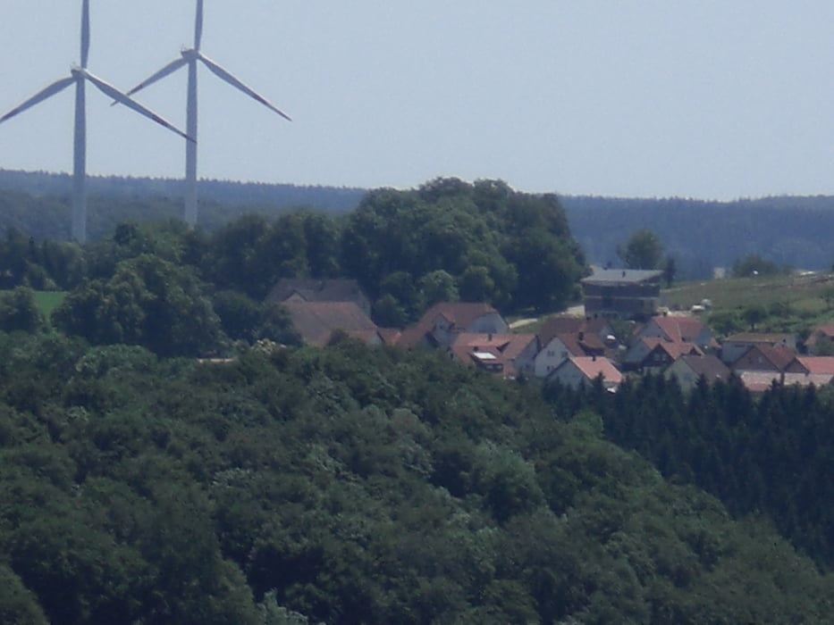
vom Campingplatz Hirtenteich in Lauterburg fahren wir Richtung Rosenstein auf der Suche nach Downhill-Trails. der 1. Bones-Valley-Trail hat ein paar Sprünge, Drops und Absätze drin, die man aber auch umfahren kann (so wie ich). Nun gehts wieder steil hoch. Manchmal ist auch eine Schiebepassage dabei. Der 2. Downhill war leider nur ein Forstweg. Nun gehts auf einem Forstweg entspannt wieder hoch und auf einem schönen Waldtrail gehts den 3. Downhill hinunter (S1). Auf dem Uphill sah ich, dass da wieder ein Pfad von oben runterkam und den suchte ich dann. Der 4. Downhill geht erst über ein paar Engstellen und steilen Stufen (ich mußte schieben) durch eine Höhle, um dann am Hang hinab mit ein paar Spitzkehren hinab nach Lauten (S1-S2) zu führen. Dann gehts wieder um den Rosenstein zurück und hinauf nach Lauterburg (Auch hier ist eine kurze Schiebepassage dabei).
Tour gallery
Tour map and elevation profile
Minimum height 490 m
Maximum height 756 m
More about the tour author
|
|
Fruehaufsteher |
Comments

GPS tracks
Trackpoints-
GPX / Garmin Map Source (gpx) download
-
TCX / Garmin Training Center® (tcx) download
-
CRS / Garmin Training Center® (crs) download
-
Google Earth (kml) download
-
G7ToWin (g7t) download
-
TTQV (trk) download
-
Overlay (ovl) download
-
Fugawi (txt) download
-
Kompass (DAV) Track (tk) download
-
Track data sheet (pdf) download
-
Original file of the author (gpx) download
More about the tour author
|
|
Fruehaufsteher |
Add to my favorites
Remove from my favorites
Edit tags
Open track
My score
Rate