Login

Forgot your login?

Cookies have to be accepted!
Your browser's cookie functionality is disabled. Please enable this functionality.

Not a member yet?

Register now
Login

Available for registred users only

Log in to use this feature.

Forgot your login?

Cookies have to be accepted!
Your browser's cookie functionality is disabled. Please enable this functionality.

Not a member yet?

Register now
Filter
Categories
Advanced filters
  • Distance (km)
  • Height
Save filters Reset filter

TrackRank

QRCode

Technical data

Distance57,1 km Height514 m Way down514 m Duration02:39 h:m Date09.06.2014
Scores Author Landscape Fun factor Fitness Technique

Statistics

93 Views Scores 6 Downloads Average
Rate
  • Track data sheet
  • Directions
  • Downloads
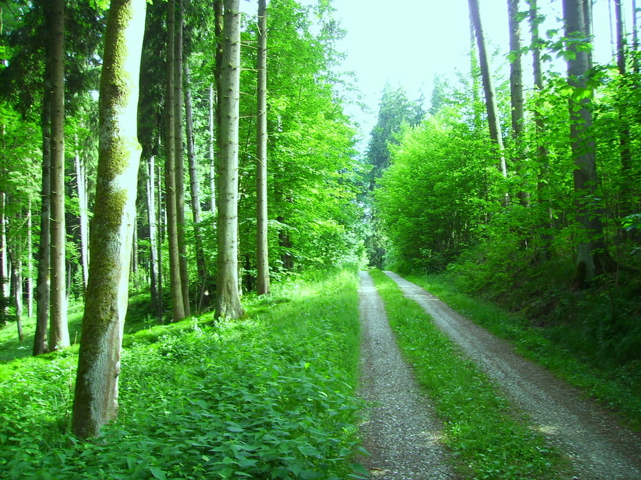
Auf dem HW4 light Version nach Regglisweiler und weiter an Dietenheim vorbei. Irgendwo kurz vor Erolzheim habe ich dann den HW4 verlassen und in einer Schlaufe an Kirchberg vorbei ging es zurück zum HW4. Der Wald war heute angenehm - es hatte über 32 Grad. Der Rückweg war fast der gleiche.

Tour map and elevation profile

  • Open Street Map
  • Google
Minimum height 492 m Maximum height 623 m Detailed view

More about the tour author

painfully58
Member since 2008

Send private message

Comments

GPS tracks

Trackpoints
  • GPX / Garmin Map Source (gpx) download
  • TCX / Garmin Training Center® (tcx) download
  • CRS / Garmin Training Center® (crs) download
  • Google Earth (kml) download
  • G7ToWin (g7t) download
  • TTQV (trk) download
  • Overlay (ovl) download
  • Fugawi (txt) download
  • Kompass (DAV) Track (tk) download
  • Track data sheet (pdf) download
  • Original file of the author (gpx) download

More about the tour author

painfully58
Member since 2008

Send private message
Share track
Add to my favorites
Remove from my favorites
Edit tags
My score
Rate
Track: Steinberg Kirchberg 20140609
Type: Mountain bike
Distance: 57,1 km
Evaluated on:
Duration:
Day(s)
Hour(s)
Minute(s)
Score: Landscape Fun factor Fitness Technique