Login

Forgot your login?

Cookies have to be accepted!
Your browser's cookie functionality is disabled. Please enable this functionality.

Not a member yet?

Register now
Login

Available for registred users only

Log in to use this feature.

Forgot your login?

Cookies have to be accepted!
Your browser's cookie functionality is disabled. Please enable this functionality.

Not a member yet?

Register now
Filter
Categories
Advanced filters
  • Distance (km)
  • Height
Save filters Reset filter

TrackRank

QRCode

Technical data

Distance8,0 km Height172 m Way down183 m Duration01:00 h:m Date09.06.2014
Scores Author Landscape Fun factor Fitness Technique

Statistics

68 Views Scores 9 Downloads Average
Rate
  • Track data sheet
  • Directions
  • Downloads

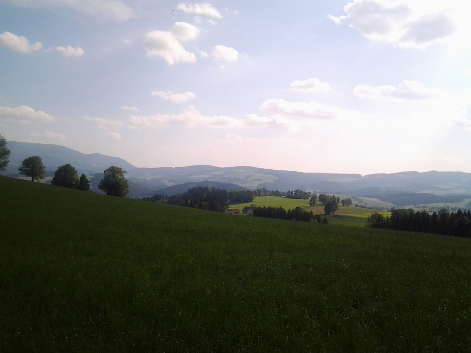
Kurze Runde. Beginn über Feldwegaufstieg und Wiesen, dann ab in den Wald über einen Wald- und Bienenlehrpfad. Viele Wurzelstöcke und der Pfad wird immer anspruchsvoller. Zum Schluß wieder über Radweg zurück.


Tour gallery

Tour map and elevation profile

  • Open Street Map
  • Google
Minimum height 650 m Maximum height 807 m Detailed view

More about the tour author

SEC
Member since 2014

Send private message

Comments

über Fladnitz , Tober

GPS tracks

Trackpoints
  • GPX / Garmin Map Source (gpx) download
  • TCX / Garmin Training Center® (tcx) download
  • CRS / Garmin Training Center® (crs) download
  • Google Earth (kml) download
  • G7ToWin (g7t) download
  • TTQV (trk) download
  • Overlay (ovl) download
  • Fugawi (txt) download
  • Kompass (DAV) Track (tk) download
  • Track data sheet (pdf) download
  • Original file of the author (gpx) download

More about the tour author

SEC
Member since 2014

Send private message
Share track
Add to my favorites
Remove from my favorites
Edit tags
My score
Rate
Track: Kleine Almlandrunde
Type: Mountain bike
Distance: 8,0 km
Evaluated on:
Duration:
Day(s)
Hour(s)
Minute(s)
Score: Landscape Fun factor Fitness Technique