


Schöne Drei-Tages-MTB-Tour, die mit Zug-Unterstützung von Hallein aus den Ennspongau und den Tennengau erschließt.
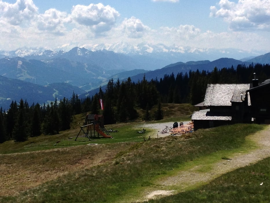
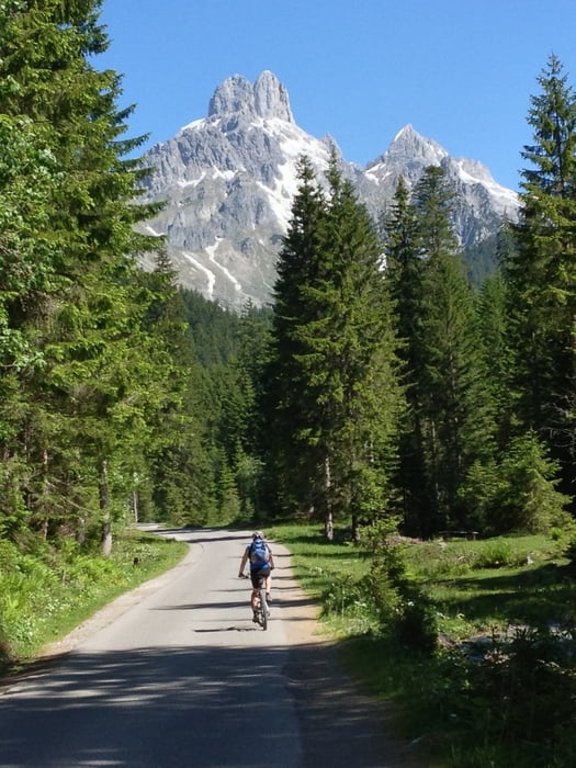
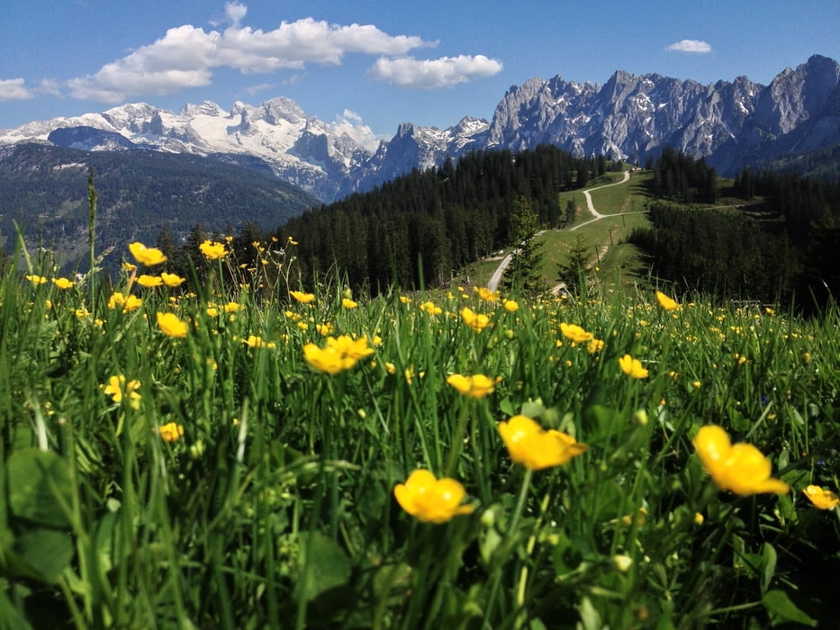
Highlights sind der Traum-Panoramaberg Rossbrand (mit Radstädter Hütte), die vielen Blicke auf den Dachstein, die Bischofsmützen und den Gosaukamm. Landschaftlich einfach grandios. Auch die Almenlandschaften im Skigebiet Gosau und am Gennerhorn verdienen das Prädikat "fantastisch". Von den Wegen her ist von Straße über gut planierte Fortswege bis grobem Schotter alles dabei.
Übernachtungen in Filzmoos und Abtenau verteilen die Tour optimal auf drei Tage.
Tour gallery

Tour map and elevation profile
Minimum height 453 m
Maximum height 1766 m
More about the tour author
|
|
m-tier |
Comments

GPS tracks
Trackpoints-
GPX / Garmin Map Source (gpx) download
-
TCX / Garmin Training Center® (tcx) download
-
CRS / Garmin Training Center® (crs) download
-
Google Earth (kml) download
-
G7ToWin (g7t) download
-
TTQV (trk) download
-
Overlay (ovl) download
-
Fugawi (txt) download
-
Kompass (DAV) Track (tk) download
-
Track data sheet (pdf) download
-
Original file of the author (gpx) download
More about the tour author
|
|
m-tier |
Add to my favorites
Remove from my favorites
Edit tags
Open track
My score
Rate