


Eine Radtour die hauptsächlich auf Asphalt im Süden von Berlin durch die Landschaft führt.
Los geht es nach OstSüdOst zum Stadtrand und dann ein Stück auf dem Mauerweg in Richtung des BER und Wassmannsdorf.
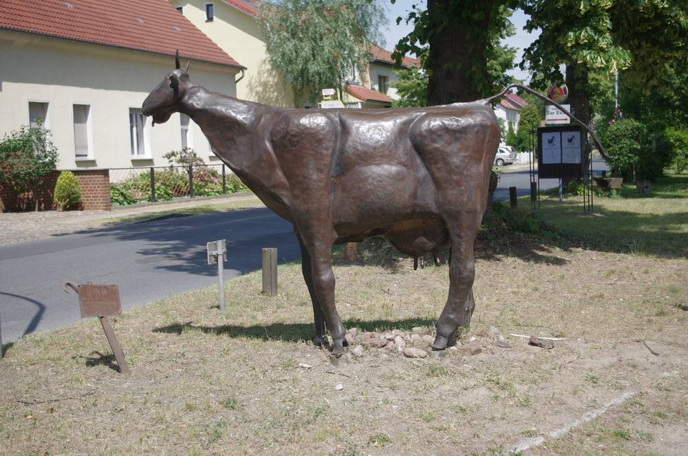
Danach über Glasow und durch Blankenfelde. Die kleine Kirche am Ortsrand lud zur Pause ein. Gleich dahinter passierten wir die Dorfangerkuh und folgten dann dem ruppigen Feldweg über das freie Feld nach Genshagen.
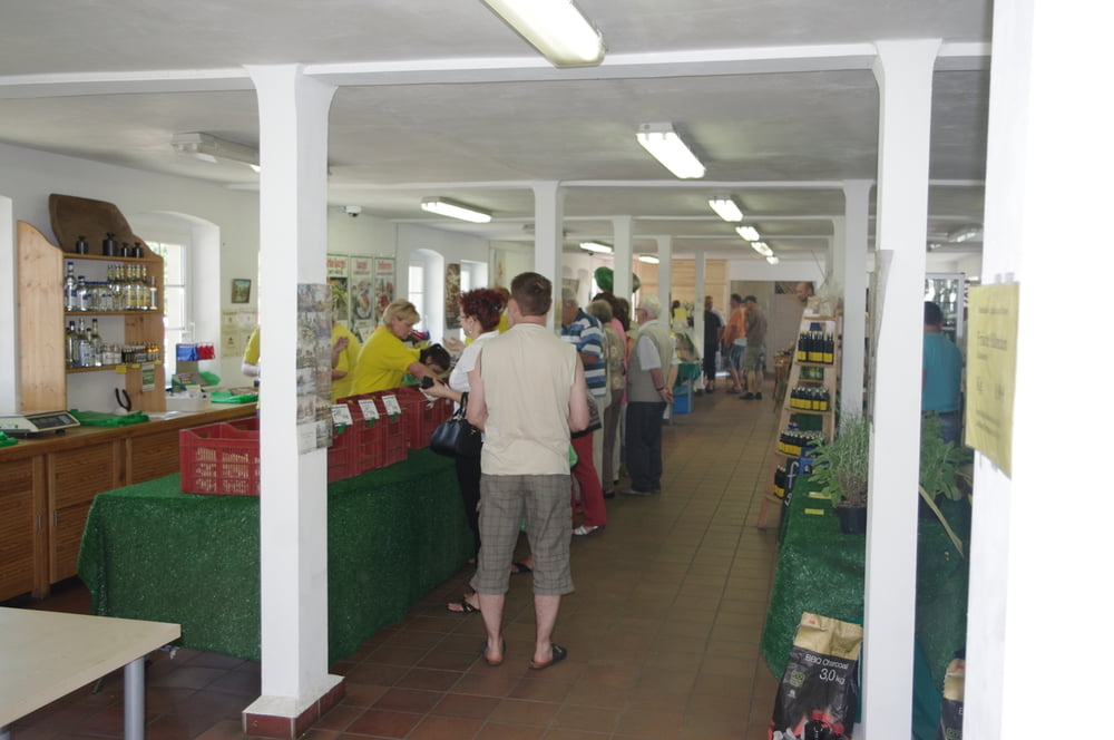
Es folgte eine schnelle Passage durch Ludwigsfelde nach Siethen zum Spargelhof.
Hier mussten wir wegen der Hitze alle Flachen auffüllen und eine schöne Limo trinken.
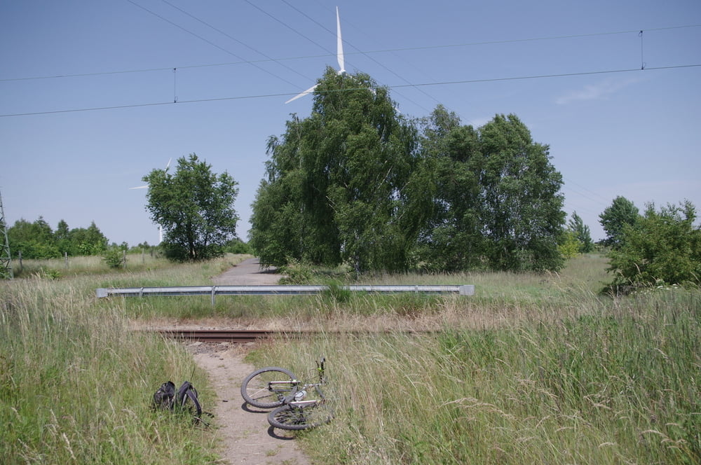
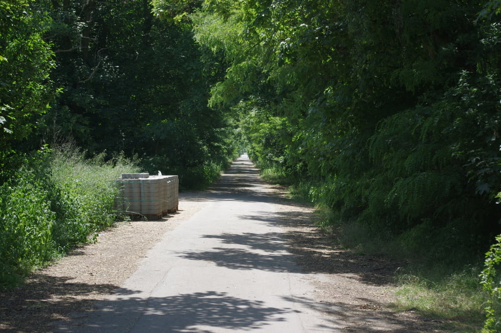
Weiter gieng es nach Norden und über ein schönes Sträßchen nach Struveshof. Hier stoppte uns der Zuckersand zweimal. Wir zogen es dann vor auf dem Radweg zum Heidering zu radeln. Am Knast vorbei folgte dann das GVZ. Mit Rückenwind brausten wir nach Norden und nahmen zum Schluss noch die japanische Kirschallee auf dem Mauerweg und den Teltowkanal mit.
Nette Runde.
Further information at
https://de.wikipedia.org/wiki/Teltow_(Landschaft)Tour gallery
Tour map and elevation profile
Minimum height 41 m
Maximum height 64 m
More about the tour author
|
|
Pheinz |
Comments

Einstieg an beliebiger Stelle.
GPS tracks
Trackpoints-
GPX / Garmin Map Source (gpx) download
-
TCX / Garmin Training Center® (tcx) download
-
CRS / Garmin Training Center® (crs) download
-
Google Earth (kml) download
-
G7ToWin (g7t) download
-
TTQV (trk) download
-
Overlay (ovl) download
-
Fugawi (txt) download
-
Kompass (DAV) Track (tk) download
-
Track data sheet (pdf) download
-
Original file of the author (gpx) download
More about the tour author
|
|
Pheinz |
Add to my favorites
Remove from my favorites
Edit tags
Open track
My score
Rate