


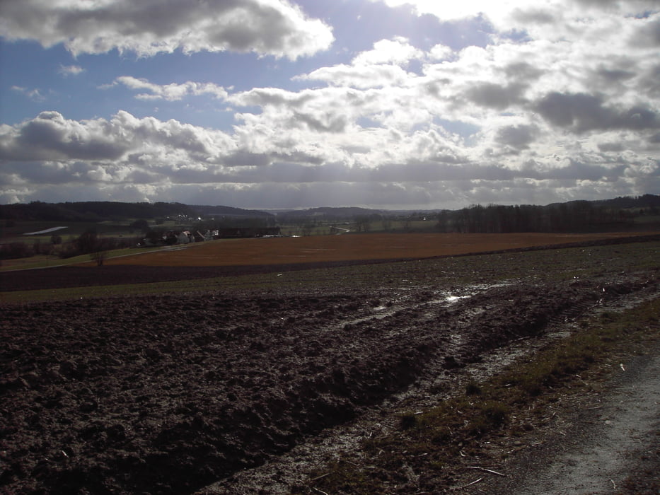
Die Strecke führt überwiegend auf gut fahrbaren Kieswegen im Wald. Kurze Abschnitte sind geteert und einige wenige sind etwas unwegsam, stellt aber mit einem MTB kein Problem dar.
Technisch keine Schwierigkeit, welliges Profil ohne lange Anstiege.
Starten kann man von jedem beliebigen Punkt.
Track wurde in Zusmarshausen gestartet.
Further information at
http://www.zusmarshausen.de/Tour gallery
Tour map and elevation profile
Minimum height
Maximum height
More about the tour author
|
|
höhenreiter |
Comments

Von der A8 kommend Ausfahrt Zusmarshausen.
Liegt ca. 25 km westlich von Augsburg.
Liegt ca. 25 km westlich von Augsburg.
GPS tracks
Trackpoints-
GPX / Garmin Map Source (gpx) download
-
TCX / Garmin Training Center® (tcx) download
-
CRS / Garmin Training Center® (crs) download
-
Google Earth (kml) download
-
G7ToWin (g7t) download
-
TTQV (trk) download
-
Overlay (ovl) download
-
Fugawi (txt) download
-
Kompass (DAV) Track (tk) download
-
Track data sheet (pdf) download
-
Original file of the author (gpx) download
More about the tour author
|
|
höhenreiter |
Add to my favorites
Remove from my favorites
Edit tags
Open track
My score
Rate