


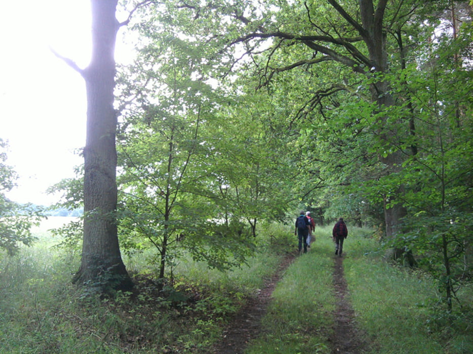
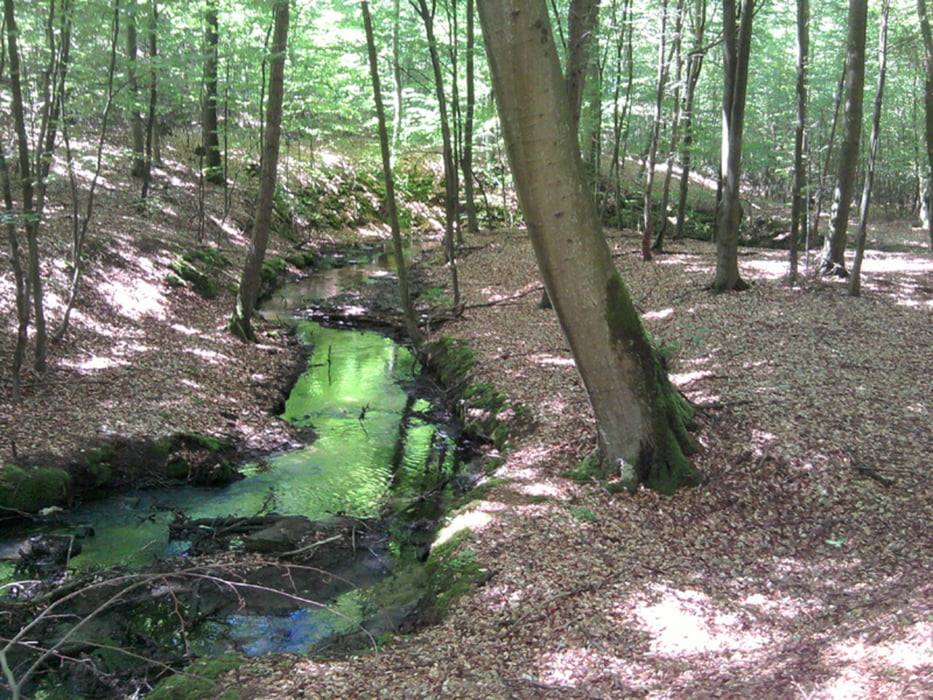
Am Bahnhof Biesenthal geht's gleich in die Natur. Eine Wanderung durch typisch brandenburgische Landschaften - Mischwald, Kiefernwald, Buchenwald. Das Nonnenfließ ist ein kühler Bachgrund, der sich durch hügeliges Gebiet schlängelt.
Der Weg ist leicht zu begehen, bis Spechthausen fast ausschließlich wanderfreundliche Wege.
Der Weg ist leicht zu begehen, bis Spechthausen fast ausschließlich wanderfreundliche Wege.
Further information at
http://xxrrhahn.de/touren/nonnengrund/index.htmlTour gallery
Tour map and elevation profile
Minimum height 37 m
Maximum height 188 m
More about the tour author

|
xxrhahn |
Comments

Hinweg: Regionalbahn bis Biesenthal
Retour: Ab Eberswalde Zoo mit dem Bus zum Bahnhof Eberswalde (der Bahnhof ist aber nicht ausgewiesen, sondern nur der Busbahnhof, der unmittelbar daneben liegt)
Retour: Ab Eberswalde Zoo mit dem Bus zum Bahnhof Eberswalde (der Bahnhof ist aber nicht ausgewiesen, sondern nur der Busbahnhof, der unmittelbar daneben liegt)
GPS tracks
Trackpoints-
GPX / Garmin Map Source (gpx) download
-
TCX / Garmin Training Center® (tcx) download
-
CRS / Garmin Training Center® (crs) download
-
Google Earth (kml) download
-
G7ToWin (g7t) download
-
TTQV (trk) download
-
Overlay (ovl) download
-
Fugawi (txt) download
-
Kompass (DAV) Track (tk) download
-
Track data sheet (pdf) download
-
Original file of the author (gpx) download
More about the tour author
|
|
xxrhahn |
Add to my favorites
Remove from my favorites
Edit tags
Open track
My score
Rate