Login

Forgot your login?

Cookies have to be accepted!
Your browser's cookie functionality is disabled. Please enable this functionality.

Not a member yet?

Register now
Login

Available for registred users only

Log in to use this feature.

Forgot your login?

Cookies have to be accepted!
Your browser's cookie functionality is disabled. Please enable this functionality.

Not a member yet?

Register now
Filter
Categories
Advanced filters
  • Distance (km)
  • Height
Save filters Reset filter

TrackRank

QRCode

Technical data

Distance73,1 km Height733 m Way down740 m Duration00:00 h:m Date14.06.2014
Scores Author Landscape Fun factor Fitness Technique

Statistics

165 Views Scores 24 Downloads Average
Rate
  • Track data sheet
  • Directions
  • Downloads

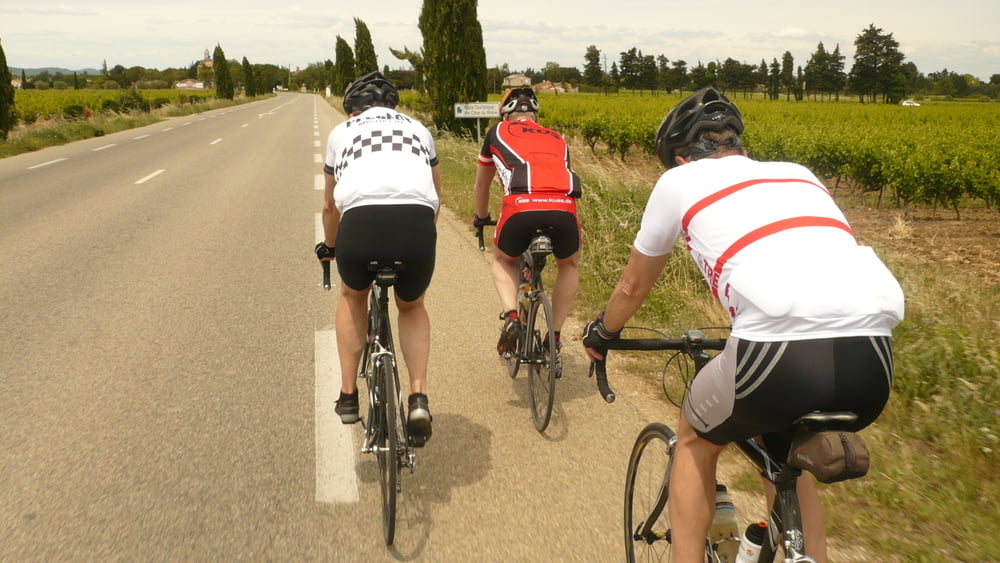
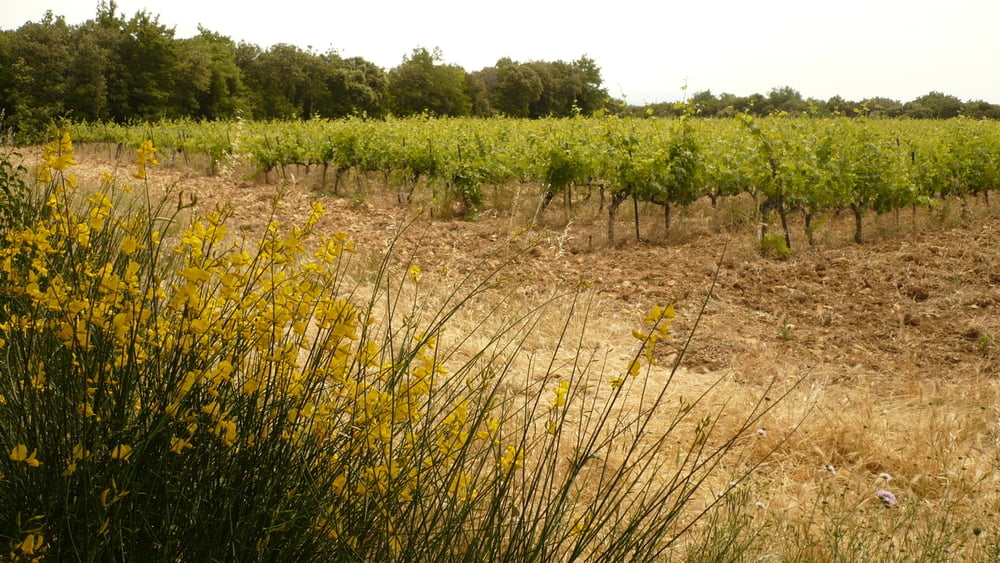
Im Vergleich zu den sonstigen abgeschiedenen wunderbaren Strecken eine doch eher unspektakuläre Tour mit erstaunlichen 700 hm, die sich gar nicht so angefühlt haben...


Tour gallery

Tour map and elevation profile

  • Open Street Map
  • Google
Minimum height 79 m Maximum height 339 m Detailed view

More about the tour author

thomi64
Member since 2011

Send private message

Comments

GPS tracks

Trackpoints
  • GPX / Garmin Map Source (gpx) download
  • TCX / Garmin Training Center® (tcx) download
  • CRS / Garmin Training Center® (crs) download
  • Google Earth (kml) download
  • G7ToWin (g7t) download
  • TTQV (trk) download
  • Overlay (ovl) download
  • Fugawi (txt) download
  • Kompass (DAV) Track (tk) download
  • Track data sheet (pdf) download
  • Original file of the author (gpx) download

More about the tour author

thomi64
Member since 2011

Send private message
Share track
Add to my favorites
Remove from my favorites
Edit tags
My score
Rate
Track: Regenerationsrunde in den Westen von Vaison
Type: Road biking
Distance: 73,1 km
Evaluated on:
Duration:
Day(s)
Hour(s)
Minute(s)
Score: Landscape Fun factor Fitness Technique