


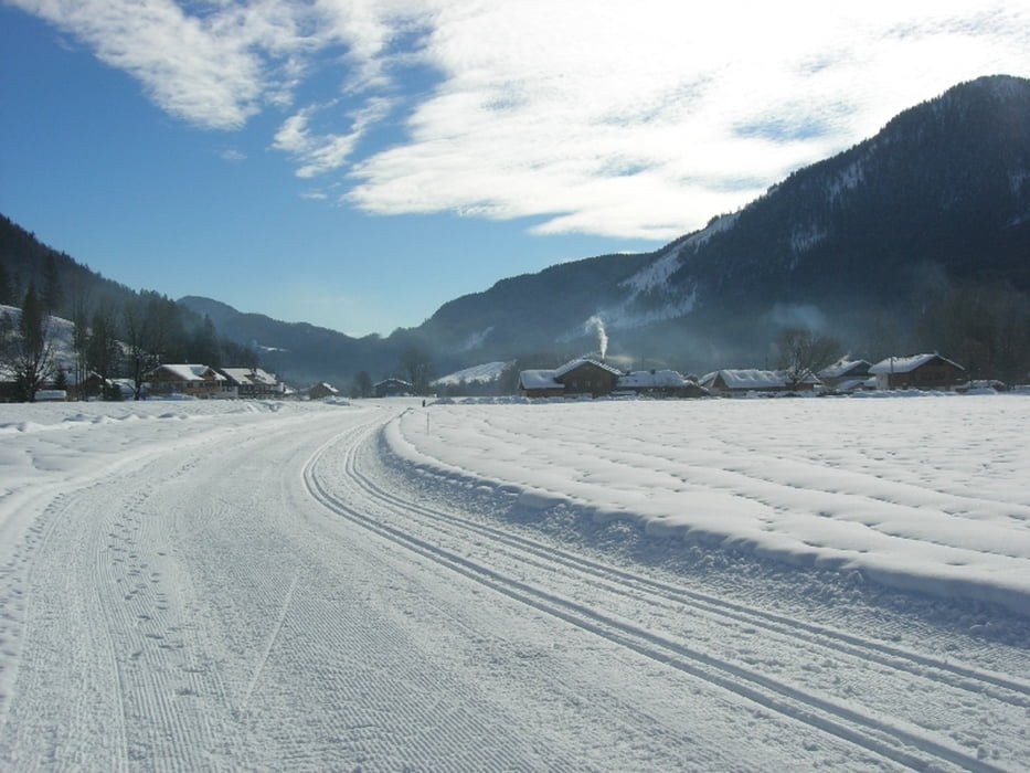
GEparkt haben wir am Gasthaus Post. Von dort die Dorfrunde und dann nach Tannern. Der Schnee war nicht sehr üppig. Gespurt war erst ab Höfen und dann später auch die Rückrunde. Am "Stüberl beim Danner" in Tannern am Parkplatz gabs wieder Suppe und Kaffe mit Kuchen. Ist immer gut und günstig.
Wie immer ist das hinunterfahren weniger anstrengend und der Rückweg nicht zu unterschätzen.
Further information at
http://www1.lenggries.de/wetter/Tour gallery

Tour map and elevation profile
Minimum height 716 m
Maximum height 882 m
More about the tour author

|
smartandem |
Comments

Auf der Bundesstraße von Bad Tölz aus vorbei an Lenggries steht der Abzweiger nach Jachenau angeschrieben.
Parken kann man entweder ganz unten in Leger, in der Mitte beim Dannerer oder in Jachenau beim Schützenwirt. Die Loipengebür wird in Leger und beim Dannerer gleich kassiert. Ganz oben weiß ichs nicht.
GPS tracks
Trackpoints-
GPX / Garmin Map Source (gpx) download
-
TCX / Garmin Training Center® (tcx) download
-
CRS / Garmin Training Center® (crs) download
-
Google Earth (kml) download
-
G7ToWin (g7t) download
-
TTQV (trk) download
-
Overlay (ovl) download
-
Fugawi (txt) download
-
Kompass (DAV) Track (tk) download
-
Track data sheet (pdf) download
-
Original file of the author (g7t) download
More about the tour author
|
|
smartandem |
Add to my favorites
Remove from my favorites
Edit tags
Open track
My score
Rate