


- Start/Ziel: Lago di Cavedine(tiefster Punkt der Tour).
- Fahrtrichtung: Gegen den Uhrzeigersinn.
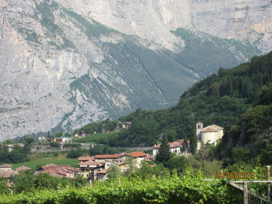
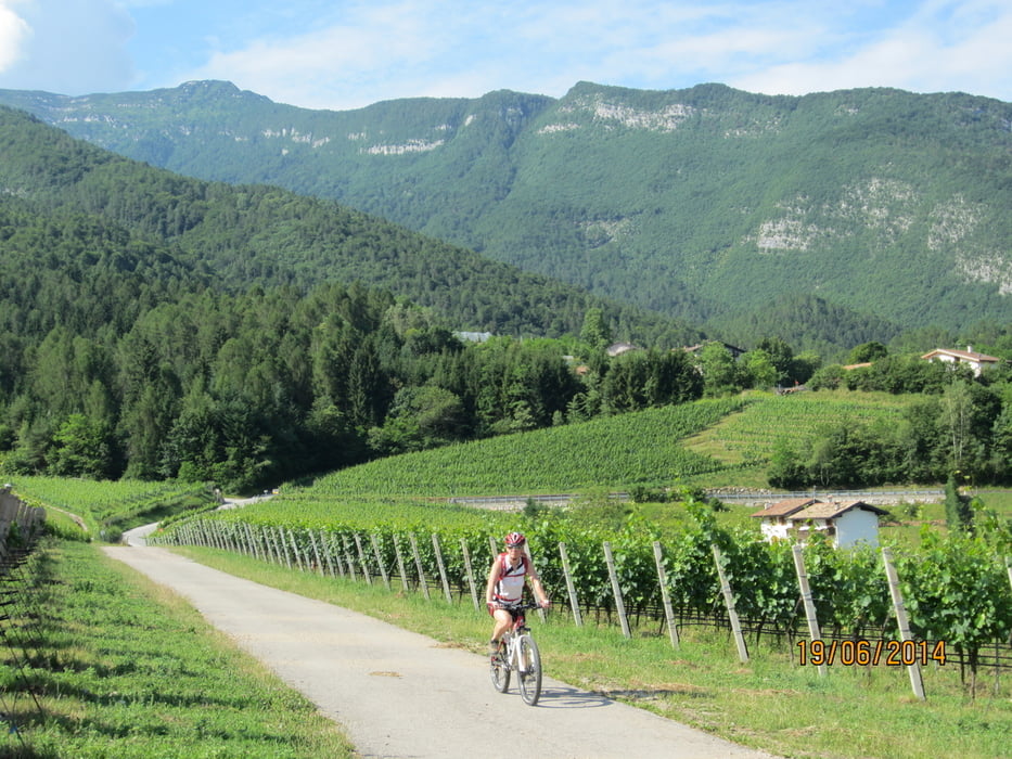
- Der Rundkurs verläuft hauptsächlig auf geteerten Wiesenwegen, bzw.kurzen Abschnitten auf wenig befahrenen Landstrassen. Der Aufstieg, ca. 500 HM nach Drena und weiter bis zum höchsten Punkt der Tour, erfolgt in einem Zug. Am höchsten Punkt angekommen fahren wir am Hang entlang hinunter ins Dorf Cavedine. Von dort geht's über einen Höhenrücken mit der Kirche "San Siro" hinunter ins Tal zum Lago di Cavedine.
Tour gallery

Tour map and elevation profile
Minimum height 245 m
Maximum height 657 m
More about the tour author
|
|
MargesinFriedrich |
Comments

GPS tracks
Trackpoints-
GPX / Garmin Map Source (gpx) download
-
TCX / Garmin Training Center® (tcx) download
-
CRS / Garmin Training Center® (crs) download
-
Google Earth (kml) download
-
G7ToWin (g7t) download
-
TTQV (trk) download
-
Overlay (ovl) download
-
Fugawi (txt) download
-
Kompass (DAV) Track (tk) download
-
Track data sheet (pdf) download
-
Original file of the author (gpx) download
More about the tour author
|
|
MargesinFriedrich |
Add to my favorites
Remove from my favorites
Edit tags
Open track
My score
Rate