Login

Forgot your login?

Cookies have to be accepted!
Your browser's cookie functionality is disabled. Please enable this functionality.

Not a member yet?

Register now
Login

Available for registred users only

Log in to use this feature.

Forgot your login?

Cookies have to be accepted!
Your browser's cookie functionality is disabled. Please enable this functionality.

Not a member yet?

Register now
Filter
Categories
Advanced filters
  • Distance (km)
  • Height
Save filters Reset filter

TrackRank

QRCode

Technical data

Distance19,1 km Height380 m Way down374 m Duration00:00 h:m Date22.06.2014
Scores Author Landscape Fun factor Fitness Technique

Statistics

290 Views Scores 53 Downloads Average
Rate
  • Track data sheet
  • Directions
  • Downloads

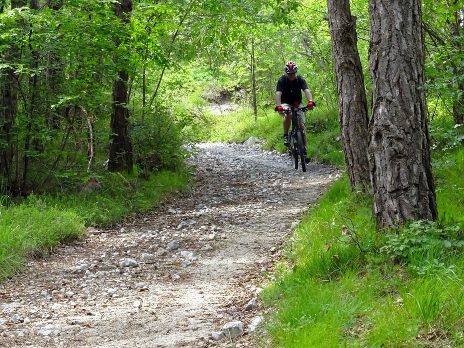
Schöne nicht zu schwere Ensteigertour mit tollem Singeltrail ab Waldkapelle Decke Tönnes und ab Forsthaus Steinbach.


Tour map and elevation profile

  • Open Street Map
  • Google
Minimum height 286 m Maximum height 527 m Detailed view

More about the tour author

oesibiker
Member since 2012

Send private message

Comments

Start am gebührenfreien Patkplatz rechts ca 200m oberhalb der Steinbachtalsperre.

  Unbedingt im Gasthaus Steinbach auf ein Bier und Flammkuchen einkehren !!!!!


GPS tracks

Trackpoints
  • GPX / Garmin Map Source (gpx) download
  • TCX / Garmin Training Center® (tcx) download
  • CRS / Garmin Training Center® (crs) download
  • Google Earth (kml) download
  • G7ToWin (g7t) download
  • TTQV (trk) download
  • Overlay (ovl) download
  • Fugawi (txt) download
  • Kompass (DAV) Track (tk) download
  • Track data sheet (pdf) download
  • Original file of the author (gpx) download

More about the tour author

oesibiker
Member since 2012

Send private message
Share track
Add to my favorites
Remove from my favorites
Edit tags
My score
Rate
Track: Rundtour Kombi aus MTB 1+2+12 B.M.Eifel
Type: Mountain bike
Distance: 19,1 km
Evaluated on:
Duration:
Day(s)
Hour(s)
Minute(s)
Score: Landscape Fun factor Fitness Technique