

Kurze Variante der Tour 46 aus dem Rother Wanderführer "Pyrenäen 1".
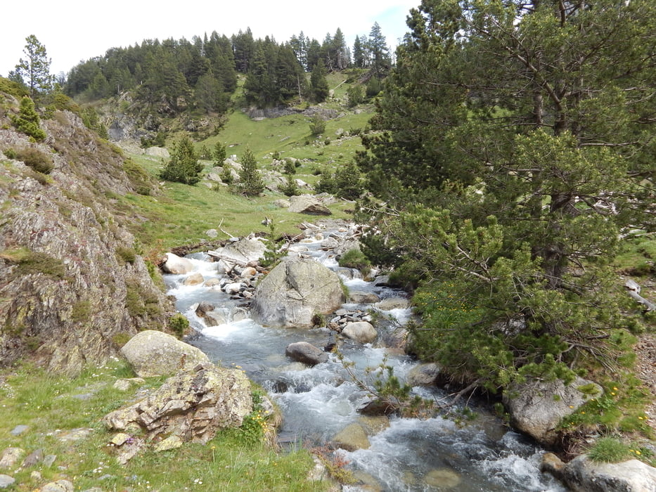
Sehr schöne und einfache Wanderung am Lauf des Rio Esera vom Wanderparkplatz bis La Besurta. Landschaftlich sehr abwechslungsreich bietet sich immer wieder Gelegenheit, die neugierigen und keineswegs scheuen Murmeltiere zu sichten. Weite Wiesen, Bachmäander, Wasserfälle, das Maladeta-Massiv und Anetogletscher machen die Wanderung sehr abwechslungsreich.
Wir haben die Tour am 10.6.2014 als Zwischenetappe auf unserem Weg von Andorra zum Ordesa-Nationalpark eingeschoben und sind spätnachmittags erst los - beste Murmeltierzeit also!
Charakter: kurz und sehr einfach, kaum Steigungen.
Urteil: Sehr empfehlenswert!
Tour gallery


Tour map and elevation profile
Minimum height 1727 m
Maximum height 1892 m
More about the tour author

|
maps-pw |
Comments

Wanderparkplatz an der Kontrollstelle etwa 500m vor dem Hospital de Benasque (Bushaltestelle im Sommer)
GPS tracks
Trackpoints-
GPX / Garmin Map Source (gpx) download
-
TCX / Garmin Training Center® (tcx) download
-
CRS / Garmin Training Center® (crs) download
-
Google Earth (kml) download
-
G7ToWin (g7t) download
-
TTQV (trk) download
-
Overlay (ovl) download
-
Fugawi (txt) download
-
Kompass (DAV) Track (tk) download
-
Track data sheet (pdf) download
-
Original file of the author (gpx) download
More about the tour author
|
|
maps-pw |
Add to my favorites
Remove from my favorites
Edit tags
Open track
My score
Rate