Login

Forgot your login?

Cookies have to be accepted!
Your browser's cookie functionality is disabled. Please enable this functionality.

Not a member yet?

Register now
Login

Available for registred users only

Log in to use this feature.

Forgot your login?

Cookies have to be accepted!
Your browser's cookie functionality is disabled. Please enable this functionality.

Not a member yet?

Register now
Filter
Categories
Advanced filters
  • Distance (km)
  • Height
Save filters Reset filter

TrackRank

QRCode

Technical data

Distance26,8 km Height137 m Way down144 m Duration01:25 h:m Date23.06.2014
Scores Author User Landscape Fun factor Fitness Technique

Statistics

406 Views Scores 70 Downloads Average
Rate
  • Track data sheet
  • Directions
  • Downloads

Start in Hochstetten dann durch den Wald Richtung Hartheim.

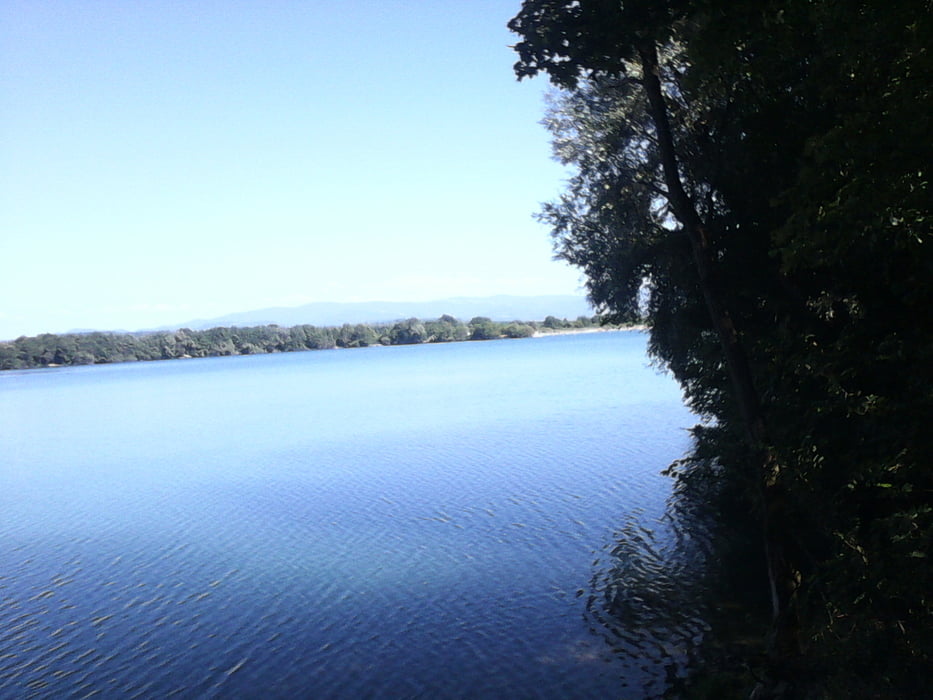
Dann über den Vorderheinweg  Richtung Basel über einen Trail zum Radweg auf dem Rheindamm.

Dem Radweg folgen bis Breisach
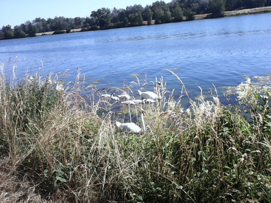
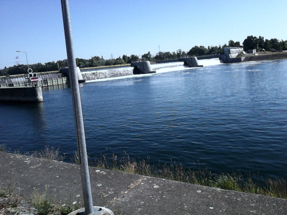
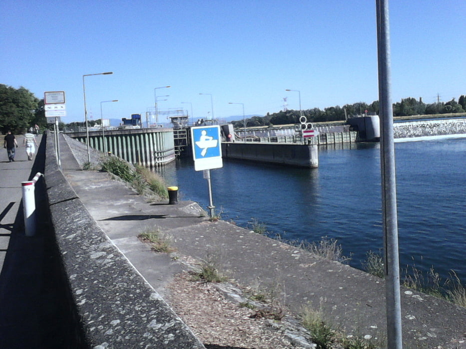
 

Tour gallery

Tour map and elevation profile

  • Open Street Map
  • Google
Minimum height 185 m Maximum height 250 m Detailed view

More about the tour author

Cokedealer
Member since 2013

Send private message

Comments

GPS tracks

Trackpoints
  • GPX / Garmin Map Source (gpx) download
  • TCX / Garmin Training Center® (tcx) download
  • CRS / Garmin Training Center® (crs) download
  • Google Earth (kml) download
  • G7ToWin (g7t) download
  • TTQV (trk) download
  • Overlay (ovl) download
  • Fugawi (txt) download
  • Kompass (DAV) Track (tk) download
  • Track data sheet (pdf) download
  • Original file of the author (gpx) download

More about the tour author

Cokedealer
Member since 2013

Send private message
Share track
Add to my favorites
Remove from my favorites
Edit tags
My score
Rate
Track: Durch den Wald bei Breisach
Type: Mountain bike
Distance: 26,8 km
Evaluated on:
Duration:
Day(s)
Hour(s)
Minute(s)
Score: Landscape Fun factor Fitness Technique