


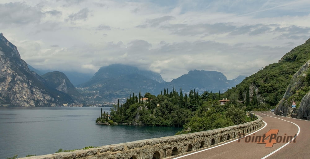
Gemütliche Tour auf Asphalt, diese kann auch mit jeder anderen Art von Bike gemacht werden. Die Steigung ist sehr moderat und geht nicht über 8 % hinaus.
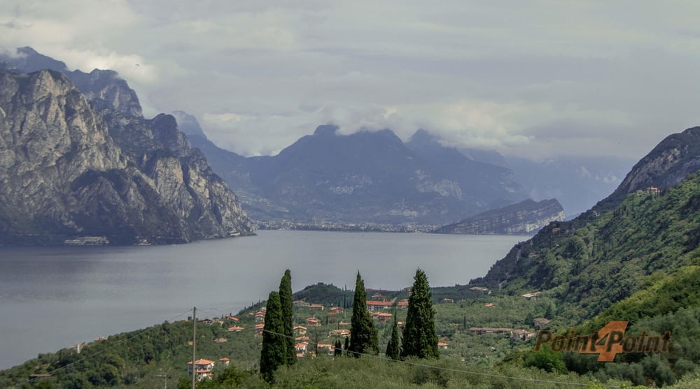
Das Panorama ist natürlich der Hammer ! Einfach locker hochkurbeln und geniessen...
Alles easy, eine Tour für "vor dem Frühstück"... ;)
P.S.Licht für die Tunnelfahrten nicht vergeßen !
Tour gallery


Tour map and elevation profile
Minimum height 77 m
Maximum height 375 m
More about the tour author
|
|
Pointer |
Comments

Von Augsburg kommend über die A8 nach München und weiter durch München West auf die A95 in Richtung Garmisch-Partenkirchen. Weiter an Mittenwald vorbei und über Scharnitz nach Österreich und hier auf die Autobahn in Richtung Innsbruck. Weiter in Richtung Brenner Paß und dann weiter auf der Autostrada bis zur Abfahrt Roverretto-Süd. Hier geht es dann über Mori und Nago nach Torbole.
GPS tracks
Trackpoints-
GPX / Garmin Map Source (gpx) download
-
TCX / Garmin Training Center® (tcx) download
-
CRS / Garmin Training Center® (crs) download
-
Google Earth (kml) download
-
G7ToWin (g7t) download
-
TTQV (trk) download
-
Overlay (ovl) download
-
Fugawi (txt) download
-
Kompass (DAV) Track (tk) download
-
Track data sheet (pdf) download
-
Original file of the author (gpx) download
More about the tour author
|
|
Pointer |
Add to my favorites
Remove from my favorites
Edit tags
Open track
My score
Rate