


Übernachtung auf dem WoMo Stellplatz des Naturfreundehaus Elmstein
Fahrt und Start am Johanniskreuz
Johanniskreuz - Heltersberg – Johanniskreuz
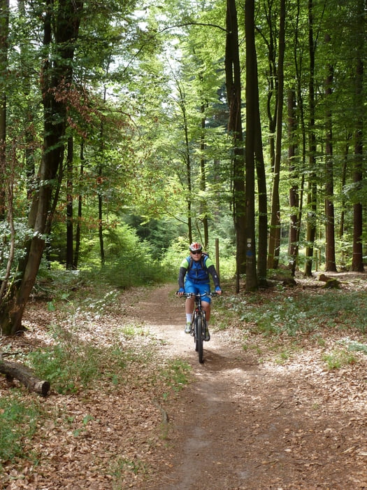
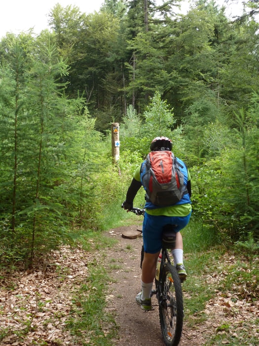
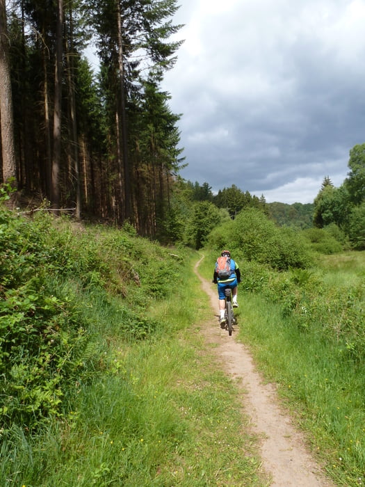
Die Strecke verläuft von Johanniskreuz aus über den "Gümpels Weg" hinunter durch das sog. "Kanonenrohr" direkt auf den Campingplatz "Sägmühle", dessen Betreiber selbst begeisterter Biker ist.
Mit einem ständigen Wechsel von Up- und Downhills erreichen wir mit einer wohligen Schwere in den Beinen unser Ausgangsziel.
Etwas Zeit für den Genuss eines Kaltschalengetränks in einem der Gastronomiebetriebe in Johanniskreuz sollte man auf jeden Fall mit einplanen.
Further information at
http://www.naturfreundehaus-elmstein.de/Tour gallery
Tour map and elevation profile
Minimum height 338 m
Maximum height 493 m
More about the tour author
|
|
ambaibiker |
Comments

Johanniskreuz in der Pfalz
GPS tracks
Trackpoints-
GPX / Garmin Map Source (gpx) download
-
TCX / Garmin Training Center® (tcx) download
-
CRS / Garmin Training Center® (crs) download
-
Google Earth (kml) download
-
G7ToWin (g7t) download
-
TTQV (trk) download
-
Overlay (ovl) download
-
Fugawi (txt) download
-
Kompass (DAV) Track (tk) download
-
Track data sheet (pdf) download
-
Original file of the author (gpx) download
More about the tour author
|
|
ambaibiker |
Add to my favorites
Remove from my favorites
Edit tags
Open track
My score
Rate