


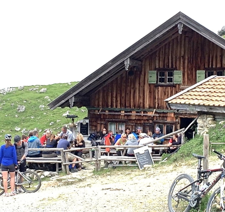
Anfahrt zum Spitzingsee über Moni Alm, Maut Strasse. Geteert. Teilweise sehr schöne Gebirgslandschaften. Ankunft Spitzingsee mit reduzierter Gastronomie, aber für einen Blick auf den See schön. Weiter Richtung Untere- und Obere Firstalm, gut zu befahrender Ziehweg, mitunter etwas Schotter. Nach kleiner Abfahrt kommt eine teilweise enge Tragepassage von ca 10-15 Min, ist gehbar. Ankunft Freudenreich Alm, Brotzeit und schöne Abfahrt Richtung Rottach Egern über unbefestigte gut zu fahrende Wald- und Feldwege. Wer Lust hat belohnt sich beim Cafe Angermaier.
Tour gallery

Tour map and elevation profile
Minimum height 714 m
Maximum height 1360 m
More about the tour author
|
|
Schmugg |
Comments

GPS tracks
Trackpoints-
GPX / Garmin Map Source (gpx) download
-
TCX / Garmin Training Center® (tcx) download
-
CRS / Garmin Training Center® (crs) download
-
Google Earth (kml) download
-
G7ToWin (g7t) download
-
TTQV (trk) download
-
Overlay (ovl) download
-
Fugawi (txt) download
-
Kompass (DAV) Track (tk) download
-
Track data sheet (pdf) download
-
Original file of the author (gpx) download
More about the tour author
|
|
Schmugg |
Add to my favorites
Remove from my favorites
Edit tags
Open track
My score
Rate