


Die Etappen:
Tag 1: Mittenwald - Sautens
Tag 2: Sautens - Vent
Tag 3: Vent - Naturns/Plaus (über den Similaun!)
Tag 4: Plaus - St. Walburg
Tag 5: St. Walburg - Mezzolombardo
Tag 6: Mezzolombardo - Riva
Orginal Zitate von Uli Stanciu im Vorfeld zu unserer Tourplanung:
"eine prima Strecke habt Ihr da geplant."...
"Ihr müsst nur wissen, dass die Strecke über Vent und den Similaun ein echt hartes Teil ist. Da müsste Ihr ziemlich viel schieben und auch die Abfahrt ins Schnalstal ist eher was für Hans Rey."...
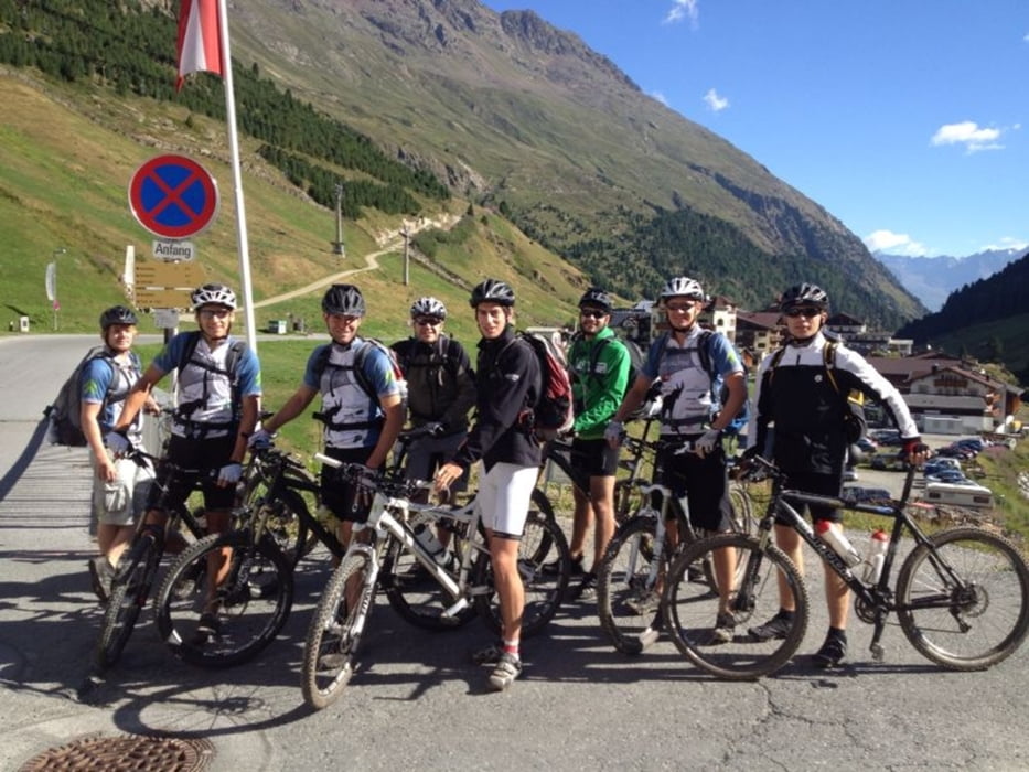
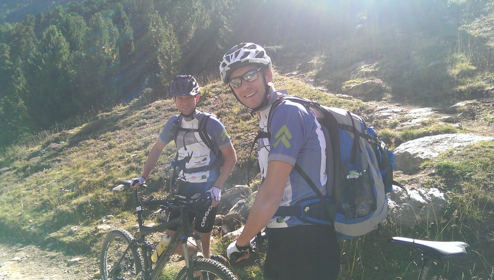
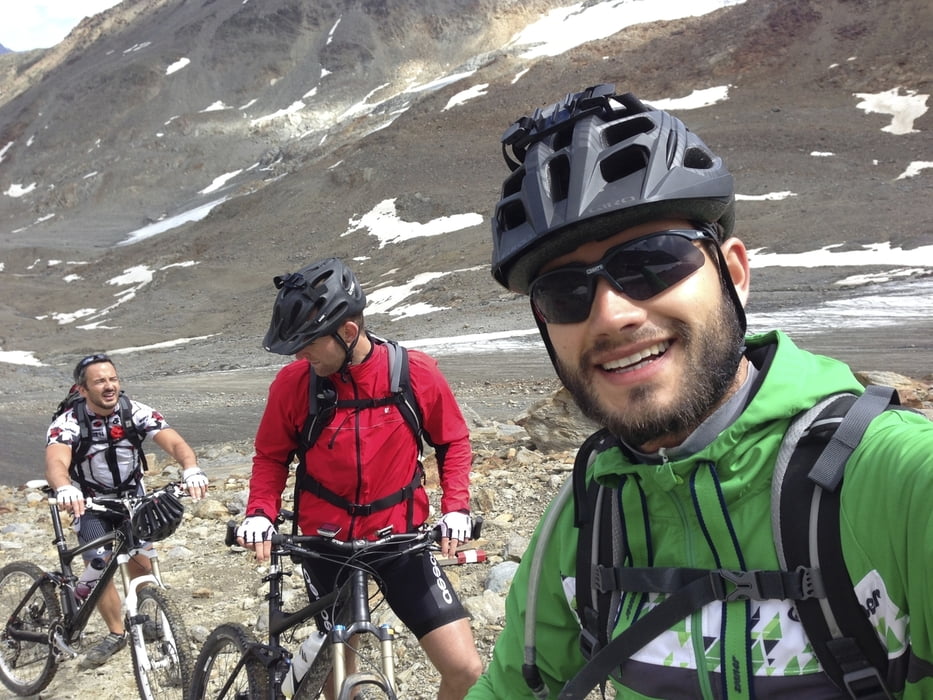
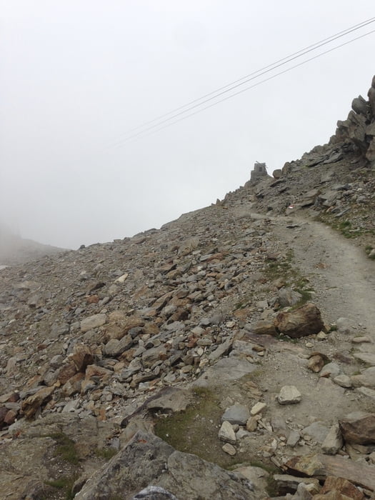
Tour gallery
Tour map and elevation profile
Minimum height -16 m
Maximum height 3008 m
More about the tour author
|
|
felix88 |
Comments

GPS tracks
Trackpoints-
GPX / Garmin Map Source (gpx) download
-
TCX / Garmin Training Center® (tcx) download
-
CRS / Garmin Training Center® (crs) download
-
Google Earth (kml) download
-
G7ToWin (g7t) download
-
TTQV (trk) download
-
Overlay (ovl) download
-
Fugawi (txt) download
-
Kompass (DAV) Track (tk) download
-
Track data sheet (pdf) download
-
Original file of the author (gpx) download
More about the tour author
|
|
felix88 |
Add to my favorites
Remove from my favorites
Edit tags
Open track
My score
Rate