


So viel vorab: Seit 2005 gibt es im Trentin ein Gesetz, welches verbietet mit dem Mountainbike auf Strecken zu fahren, die weniger als 2 m breit sind. Am Ende des Wanderweges vom Monte Stivo herunter gibt es eine Stelle, bei der in meinem Fall die Polizei mich auf dieses Gesetz hingewiesen hat.
Nun aber zur Tour:
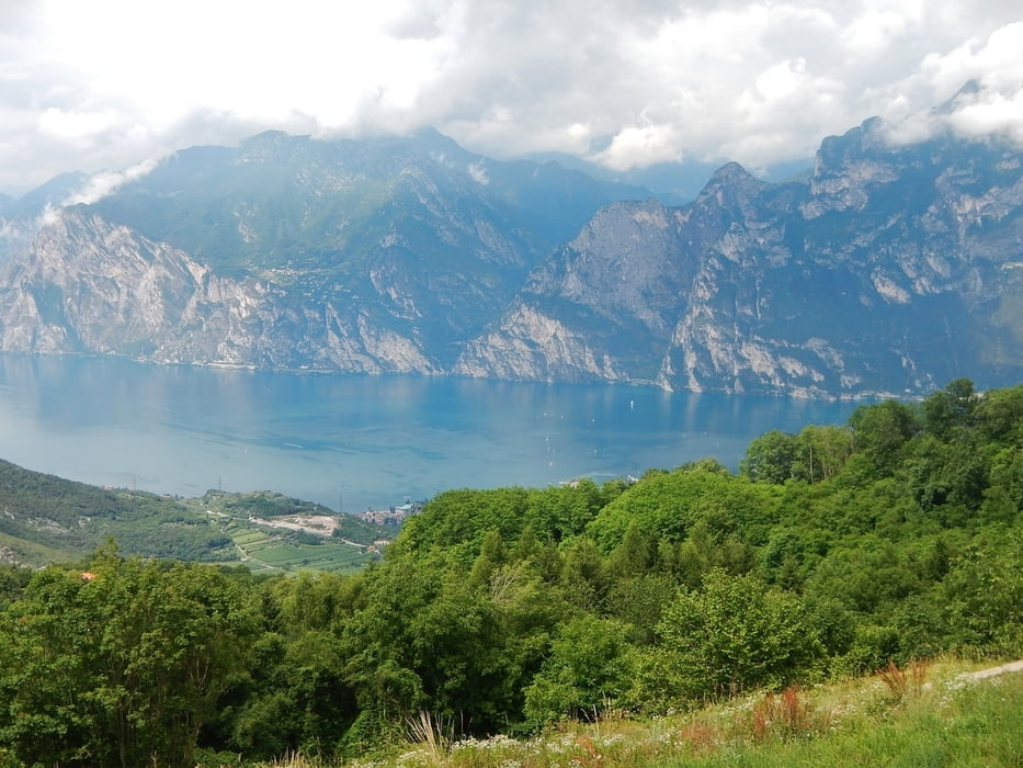
Gestartet wird in Torbole. Bis Santa Barbara sind die Wege auch immer breiter als 2 m. Jedoch, die Anstiege sind knackig, auch wenn diese aufwärts von Nago anfangs noch gut geteert sind.
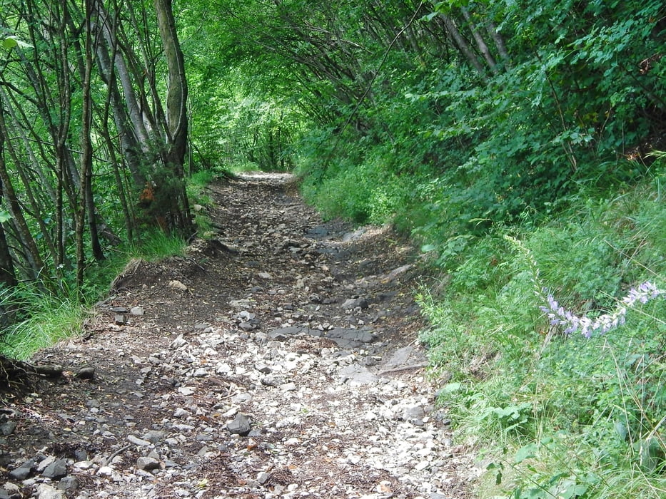
Auch nach Santa Barbara bis zur Malga Stivo darf noch gefahren werden. Der Weg ist allerdings steil und geröllig. Auch bei der Gruppe vor mir hat die Hälfte der Teilnehmer Ihr MTB oft geschoben.
Bis zum www.rifugiostivo.it/ kommt man nur zu Fuss (wurde im Rahmen dieser Tour nicht gemacht).
Alle Bilder der Tour gibt es hier: www.panoramio.com/photo/108725367
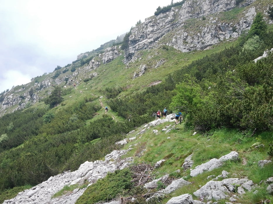
Auch der weitere Wanderweg darf nicht von MTB genutzt werden: Auch das Argument Schieben wird nicht anerkannt.
Danach sind die Schotterwege wieder erlaubt und gut fahrbar, die Abfahrt macht Spaß.
Unterhalb von Santa Barbara könnte man auch in den Anaconda Supertrail einsteigen: www.gps-tour.info/de/touren/detail.119839.html
In Bolognano-Vignole sollte man vielleicht doch besser zum Fluss Sarca vorfahren und den Radweg auf dem Damm nehmen. Ich selber musste vor Torbolo noch einen kleinen Anstieg meistern, da im Tal der Weg aufhört.
Further information at
http://headquarterbiker.com/Tour gallery

Tour map and elevation profile
Minimum height 51 m
Maximum height 1778 m
More about the tour author
|
|
MatthiasBy |
Comments

Im "Hinterland" vor Torbole sind durchaus auch Parkplätze zu finden, die umsonst sind.
GPS tracks
Trackpoints-
GPX / Garmin Map Source (gpx) download
-
TCX / Garmin Training Center® (tcx) download
-
CRS / Garmin Training Center® (crs) download
-
Google Earth (kml) download
-
G7ToWin (g7t) download
-
TTQV (trk) download
-
Overlay (ovl) download
-
Fugawi (txt) download
-
Kompass (DAV) Track (tk) download
-
Track data sheet (pdf) download
-
Original file of the author (gpx) download
More about the tour author
|
|
MatthiasBy |
Add to my favorites
Remove from my favorites
Edit tags
Open track
My score
Rate