


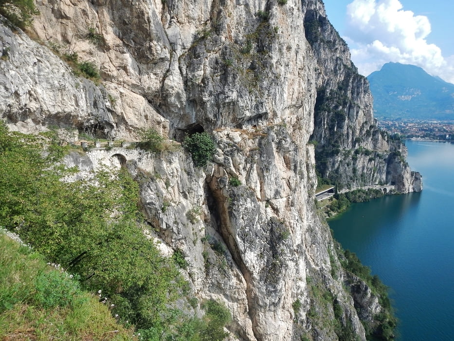
Gestartet wird in Torbole. Dann geht es Strada del Ponale, die Ponalestraße hinauf. Diese wurde erbaut von 1848 bis 1851 durch Giacomo Cis. Bis zum Lago di Ledro geht es immer bergauf, aber gut bis auf zwei heftigere Anstiege fahrbar.
Am Lago di Ledro wird die nördliche Seeseite genutzt. Man muss auf der Straße fahren, der Fussweg ist für Fahrradfahrer nicht erlaubt.
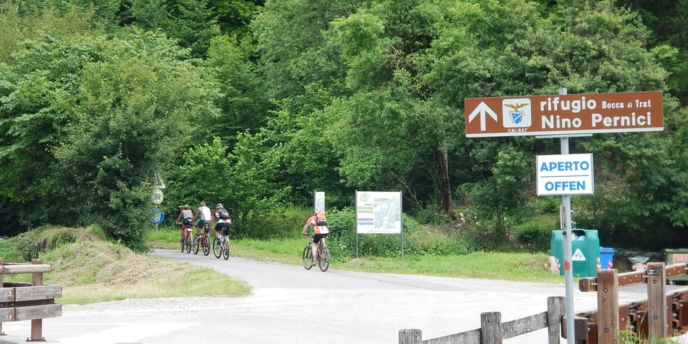
Eine Alternative ist die südliche Seite, diese ist natürlich schöner zu fahren. Anschließend geht es in Seitental bis Lenzumo, bevor der Anstieg zum Rifugio Nino Percini beginnt. Dieser ist stetig die meiste Zeit auf geteerter und wenig befahrener Straße. Nur zum Schluss ist der Schotterweg zu bewältigen.
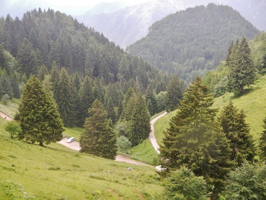
Nach dem Rifugio geht es steil bergab. Es wird gewarnt mit einem Gefälle von 20 %. Die Strecke ist fahrbar. Später wird es gemütlicher.
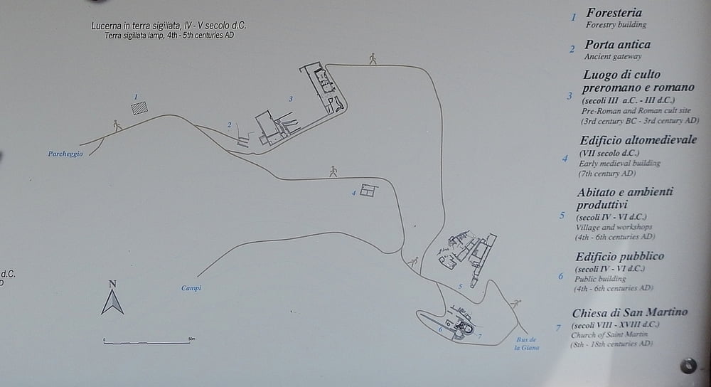
Bevor Campi erreicht wird, gibt es noch eine römische Ausgrabungstätte zu sehen. Aufpassen muss man, dass diese nicht übersehen wird, wenn man auf der geteerten Straße bergab fährt.
Anschließend geht über Straße zurück nach Riva. Viele Varianten sind dabei möglich.
Further information at
http://www.pernici.com/Tour gallery
Tour map and elevation profile
Minimum height 65 m
Maximum height 1605 m
More about the tour author
|
|
MatthiasBy |
Comments

In Riva umsonst zu parken, ist natürlich nicht ganz so einfach umzusetzen.
GPS tracks
Trackpoints-
GPX / Garmin Map Source (gpx) download
-
TCX / Garmin Training Center® (tcx) download
-
CRS / Garmin Training Center® (crs) download
-
Google Earth (kml) download
-
G7ToWin (g7t) download
-
TTQV (trk) download
-
Overlay (ovl) download
-
Fugawi (txt) download
-
Kompass (DAV) Track (tk) download
-
Track data sheet (pdf) download
-
Original file of the author (gpx) download
More about the tour author
|
|
MatthiasBy |
Add to my favorites
Remove from my favorites
Edit tags
Open track
My score
Rate