Login

Forgot your login?

Cookies have to be accepted!
Your browser's cookie functionality is disabled. Please enable this functionality.

Not a member yet?

Register now
Login

Available for registred users only

Log in to use this feature.

Forgot your login?

Cookies have to be accepted!
Your browser's cookie functionality is disabled. Please enable this functionality.

Not a member yet?

Register now
Filter
Categories
Advanced filters
  • Distance (km)
  • Height
Save filters Reset filter

TrackRank

QRCode

Technical data

Distance20,1 km Height399 m Way down400 m Duration01:30 h:m Date29.06.2014
Scores Author Landscape Fun factor Fitness Technique

Statistics

220 Views Scores 63 Downloads Average
Rate
  • Track data sheet
  • Directions
  • Downloads

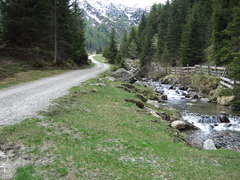
ACHTUNG: Weg seit FJ 2016 für MTB offiziell gesperrt.


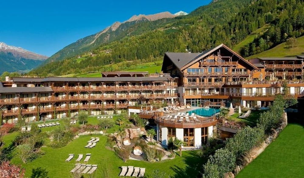
Tour entlang der Passer mit Start am Hotel Andreus.

Bis St. Leonhard am Passer-Radweg, danach etwas schwieriger am neu erschlossenem Weg teilweise über der Passer in Richtung Moos (fertig bis Oktober 2015)

Trails, Überhänge, etc. mit etwa Erfahrung gut fahrbar.
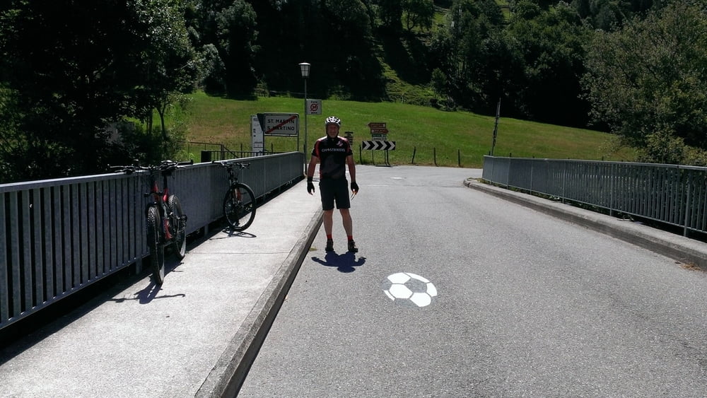
Tour gallery

Tour map and elevation profile

  • Open Street Map
  • Google
Minimum height 592 m Maximum height 838 m Detailed view

More about the tour author

Dyroff
Member since 2007

Send private message

Comments

GPS tracks

Trackpoints
  • GPX / Garmin Map Source (gpx) download
  • TCX / Garmin Training Center® (tcx) download
  • CRS / Garmin Training Center® (crs) download
  • Google Earth (kml) download
  • G7ToWin (g7t) download
  • TTQV (trk) download
  • Overlay (ovl) download
  • Fugawi (txt) download
  • Kompass (DAV) Track (tk) download
  • Track data sheet (pdf) download
  • Original file of the author (gpx) download

More about the tour author

Dyroff
Member since 2007

Send private message
Share track
Add to my favorites
Remove from my favorites
Edit tags
My score
Rate
Track: Passer
Type: Mountain bike
Distance: 20,1 km
Evaluated on:
Duration:
Day(s)
Hour(s)
Minute(s)
Score: Landscape Fun factor Fitness Technique