Login

Forgot your login?

Cookies have to be accepted!
Your browser's cookie functionality is disabled. Please enable this functionality.

Not a member yet?

Register now
Login

Available for registred users only

Log in to use this feature.

Forgot your login?

Cookies have to be accepted!
Your browser's cookie functionality is disabled. Please enable this functionality.

Not a member yet?

Register now
Filter
Categories
Advanced filters
  • Distance (km)
  • Height
Save filters Reset filter

TrackRank

QRCode

Technical data

Distance19,4 km Height934 m Way down910 m Duration02:30 h:m Date29.06.2014
Scores Author Landscape Fun factor Fitness Technique

Statistics

242 Views Scores 67 Downloads Average
Rate
  • Track data sheet
  • Directions
  • Downloads

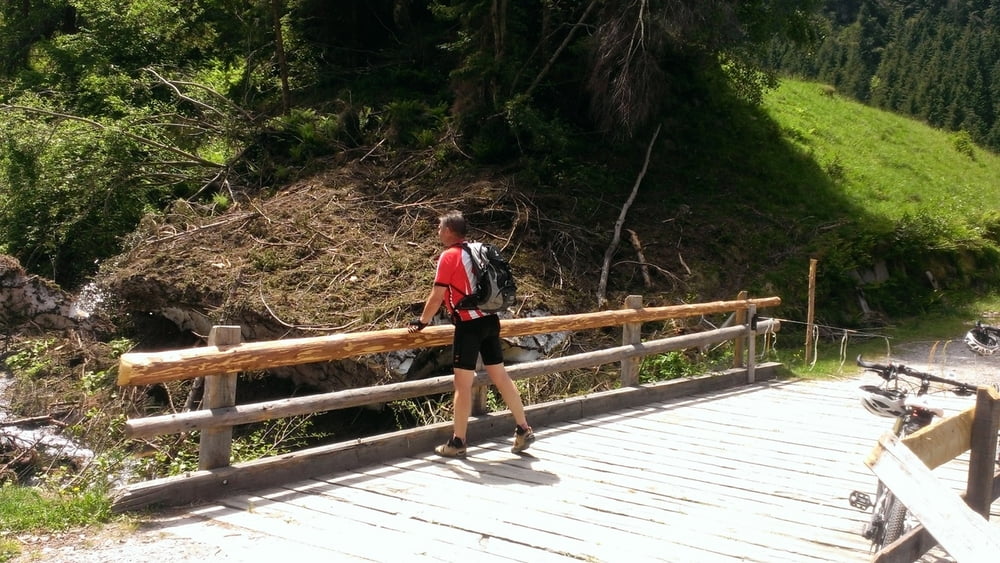
Wer permanente Anstiege über 15% liebt ist hier richtig.

Teilweise loser Untergrund.

Ab dem Hotel Andreus zunächst Richtung Pfandleralm, exakt bei 1000 hm in der Kehre nach Fartleis, ab dann wird es steil!

Tour gallery

Tour map and elevation profile

  • Open Street Map
  • Google
Minimum height 586 m Maximum height 1443 m Detailed view

More about the tour author

Dyroff
Member since 2007

Send private message

Comments

GPS tracks

Trackpoints
  • GPX / Garmin Map Source (gpx) download
  • TCX / Garmin Training Center® (tcx) download
  • CRS / Garmin Training Center® (crs) download
  • Google Earth (kml) download
  • G7ToWin (g7t) download
  • TTQV (trk) download
  • Overlay (ovl) download
  • Fugawi (txt) download
  • Kompass (DAV) Track (tk) download
  • Track data sheet (pdf) download
  • Original file of the author (gpx) download

More about the tour author

Dyroff
Member since 2007

Send private message
Share track
Add to my favorites
Remove from my favorites
Edit tags
My score
Rate
Track: Fartleis
Type: Mountain bike
Distance: 19,4 km
Evaluated on:
Duration:
Day(s)
Hour(s)
Minute(s)
Score: Landscape Fun factor Fitness Technique