Login

Forgot your login?

Cookies have to be accepted!
Your browser's cookie functionality is disabled. Please enable this functionality.

Not a member yet?

Register now
Login

Available for registred users only

Log in to use this feature.

Forgot your login?

Cookies have to be accepted!
Your browser's cookie functionality is disabled. Please enable this functionality.

Not a member yet?

Register now
Filter
Categories
Advanced filters
  • Distance (km)
  • Height
Save filters Reset filter

TrackRank

QRCode

Technical data

Distance13,9 km Height478 m Way down482 m Duration01:30 h:m Date29.06.2014
Scores Author Landscape Fun factor Fitness Technique

Statistics

216 Views Scores 42 Downloads Average
Rate
  • Track data sheet
  • Directions
  • Downloads
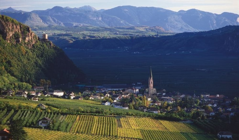
Von Vilpian aus bis zur Terlaner Weinstube und dann durch die Weinberge Terlans zum Ausgangspunkt des Anstiegs nach Mölten. Auf der alten Straße nach Mölten bis zur Abzweigung zum Buschenschrank Zilli. Von dort Abfahrt bis zur Terlaner Weinstube und zum Ausgangspunkt. 

Tour map and elevation profile

  • Open Street Map
  • Google
Minimum height 225 m Maximum height 675 m Detailed view

More about the tour author

antonhoeller
Member since 2014

Send private message

Comments

Auf der Mebo, Ausfahrt Vilpian.

GPS tracks

Trackpoints
  • GPX / Garmin Map Source (gpx) download
  • TCX / Garmin Training Center® (tcx) download
  • CRS / Garmin Training Center® (crs) download
  • Google Earth (kml) download
  • G7ToWin (g7t) download
  • TTQV (trk) download
  • Overlay (ovl) download
  • Fugawi (txt) download
  • Kompass (DAV) Track (tk) download
  • Track data sheet (pdf) download
  • Original file of the author (gpx) download

More about the tour author

antonhoeller
Member since 2014

Send private message
Share track
Add to my favorites
Remove from my favorites
Edit tags
My score
Rate
Track: Vilpian - Mölten und retour
Type: Mountain bike
Distance: 13,9 km
Evaluated on:
Duration:
Day(s)
Hour(s)
Minute(s)
Score: Landscape Fun factor Fitness Technique