

Preko 100 kilometara i skoro 1.200 metara ukupnog
uspona, nudi ova cjelodnevna zahtjevna biciklistička staza.
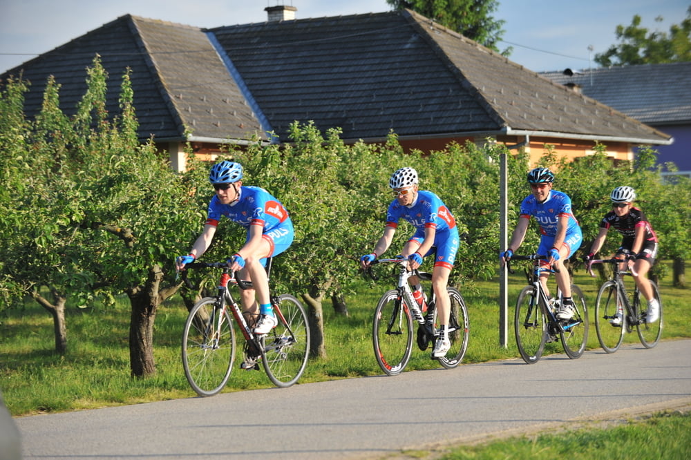
Ruta prolazi predivnim ravničarskim područjem, uz dvije
rijeke i umjetno jezero na rijeci Dravi te blizu Varaždina,
baroknog grada kojeg trebate posjetiti.
Over 100 kilometers long with only 1200 m of altitude difference and mostly at its beginning, best describes this trail. This trail goes through the beautiful lowland area, with a beautiful view of two rivers and along the artificial lake on the river Drava. This route will take you through lovely small towns and villages of Međimurje region.
http://spa-sport.hr
http://www.adriabike.hr
Tour gallery
Tour map and elevation profile
Minimum height 135 m
Maximum height 314 m
More about the tour author
|
|
AdriaBikeHotels |
Comments

GPS tracks
Trackpoints-
GPX / Garmin Map Source (gpx) download
-
TCX / Garmin Training Center® (tcx) download
-
CRS / Garmin Training Center® (crs) download
-
Google Earth (kml) download
-
G7ToWin (g7t) download
-
TTQV (trk) download
-
Overlay (ovl) download
-
Fugawi (txt) download
-
Kompass (DAV) Track (tk) download
-
Track data sheet (pdf) download
-
Original file of the author (gpx) download
More about the tour author
|
|
AdriaBikeHotels |
Add to my favorites
Remove from my favorites
Edit tags
Open track
My score
Rate