
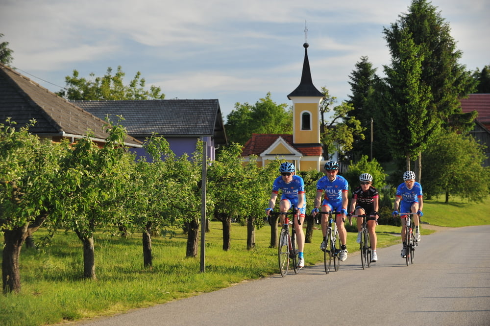

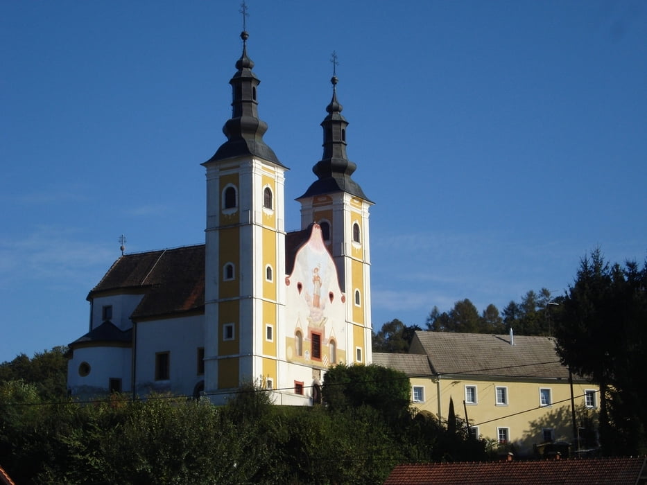
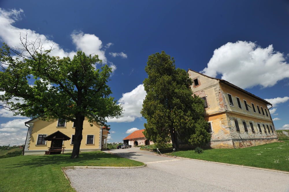
Staza koja u potpunosti ostaje u brdovitom dijelu ovog
pitomog kraja pa smo je stoga nazvali “4 Brežuljka
Međimurja”. Odlična i nezahtjevna ruta a opet na
momente vrlo izazovna zbog kratkih i strmih uspona
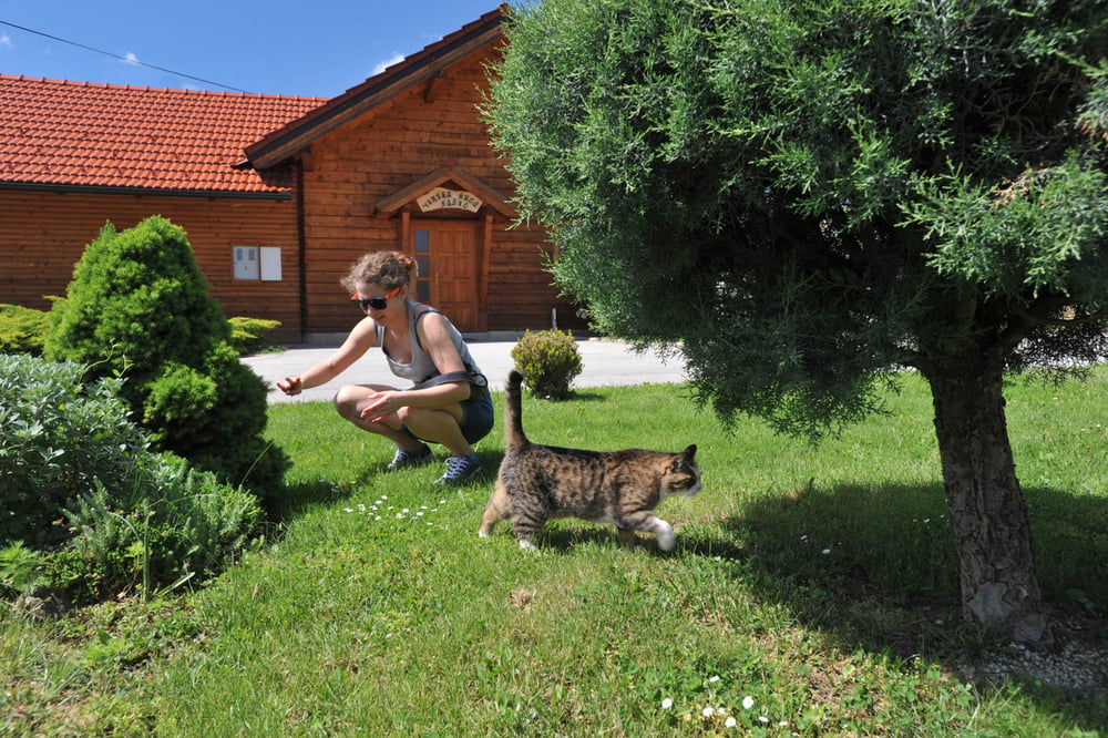
te isto takvih spusteva. Vinogradi, prekrasno uređene
okućnice, pogled na okolne krajeve te vožnja po
neprometnim malim i uskim cestama čini ovu stazu
idealnom za početnike u cestovnom biciklizmu.
Napomena: staza je pogodna za TREKKING bicikle.
This trail remains fully in the hilly part of this picturesque countryside and is therefore called "The 4 Hills of Međimurje ". It is an excellent and undemanding route and yet, at times, very challenging because of the short and steep climbs and descents. Vineyards, beautifully landscaped gardens and views of the surrounding countryside with narrow roads with no traffic are what makes this trail ideal for beginners in road cycling.
Recommendation: THIS TRAIL IS GOOD FOR TREKKING BIKES.
http://spa-sport.hr
http://www.adriabike.hr
Tour gallery
Tour map and elevation profile
Minimum height 175 m
Maximum height 323 m
More about the tour author
|
|
AdriaBikeHotels |
Comments

GPS tracks
Trackpoints-
GPX / Garmin Map Source (gpx) download
-
TCX / Garmin Training Center® (tcx) download
-
CRS / Garmin Training Center® (crs) download
-
Google Earth (kml) download
-
G7ToWin (g7t) download
-
TTQV (trk) download
-
Overlay (ovl) download
-
Fugawi (txt) download
-
Kompass (DAV) Track (tk) download
-
Track data sheet (pdf) download
-
Original file of the author (gpx) download
More about the tour author
|
|
AdriaBikeHotels |
Add to my favorites
Remove from my favorites
Edit tags
Open track
My score
Rate