Login

Forgot your login?

Cookies have to be accepted!
Your browser's cookie functionality is disabled. Please enable this functionality.

Not a member yet?

Register now
Login

Available for registred users only

Log in to use this feature.

Forgot your login?

Cookies have to be accepted!
Your browser's cookie functionality is disabled. Please enable this functionality.

Not a member yet?

Register now
Filter
Categories
Advanced filters
  • Distance (km)
  • Height
Save filters Reset filter

TrackRank

QRCode

Technical data

Distance14,6 km Height411 m Way down395 m Duration06:31 h:m Date07.07.2014
Scores Author Landscape Fun factor Fitness Technique

Statistics

429 Views Scores 25 Downloads Average
Rate
  • Track data sheet
  • Directions
  • Downloads
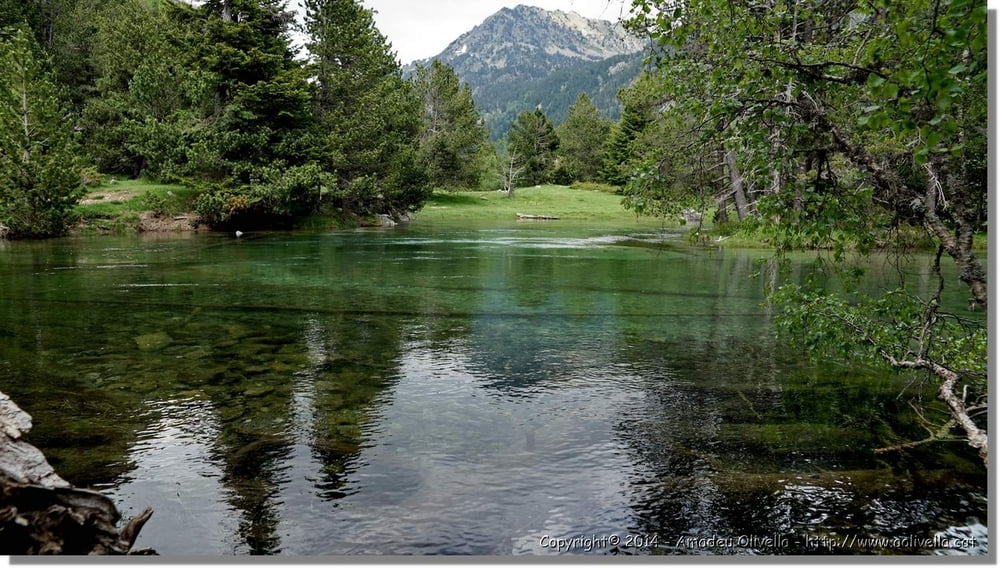
Parc Nacional d'Aigüestortes - Excursió als estanys de Llebreta, Llong i Redó - Alta Ribagorça - juny de 2014

Further information at

http://www.aolivella.cat/Muntanya/Primavera/Vall_Boi_2014/Aiguestortes/index.html

Tour gallery

Tour map and elevation profile

  • Open Street Map
  • Google
Minimum height 1820 m Maximum height 2129 m Detailed view

More about the tour author

amadeu
Member since 2011

Send private message

Comments

GPS tracks

Trackpoints
  • GPX / Garmin Map Source (gpx) download
  • TCX / Garmin Training Center® (tcx) download
  • CRS / Garmin Training Center® (crs) download
  • Google Earth (kml) download
  • G7ToWin (g7t) download
  • TTQV (trk) download
  • Overlay (ovl) download
  • Fugawi (txt) download
  • Kompass (DAV) Track (tk) download
  • Track data sheet (pdf) download
  • Original file of the author (gpx) download

More about the tour author

amadeu
Member since 2011

Send private message
Share track
Add to my favorites
Remove from my favorites
Edit tags
My score
Rate
Track: Parc Nacional d'Aigüestortes
Type: Mountain hiking
Distance: 14,6 km
Evaluated on:
Duration:
Day(s)
Hour(s)
Minute(s)
Score: Landscape Fun factor Fitness Technique