Login

Forgot your login?

Cookies have to be accepted!
Your browser's cookie functionality is disabled. Please enable this functionality.

Not a member yet?

Register now
Login

Available for registred users only

Log in to use this feature.

Forgot your login?

Cookies have to be accepted!
Your browser's cookie functionality is disabled. Please enable this functionality.

Not a member yet?

Register now
Filter
Categories
Advanced filters
  • Distance (km)
  • Height
Save filters Reset filter

TrackRank

QRCode

Technical data

Distance60,0 km Height530 m Way down574 m Duration02:00 h:m Date08.02.2008
Scores Author Landscape Fun factor Fitness Technique

Statistics

2357 Views Scores 169 Downloads Average
Rate
  • Track data sheet
  • Directions
  • Downloads
Trainingsrunde mit mehreren kurzen Anstiegen bis zu 80 HM.
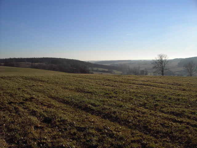
Abwechslungsreiche Tour im Naturpark Westliche Wälder

Further information at

http://www.zusmarshausen.de/

Tour gallery

Tour map and elevation profile

  • Open Street Map
  • Google
Minimum height 451 m Maximum height 604 m Detailed view

More about the tour author

höhenreiter
Member since 2007

Send private message

Comments

Start in Zusmarshausen an der A8 zwischen Augsburg und Ulm.

GPS tracks

Trackpoints
  • GPX / Garmin Map Source (gpx) download
  • TCX / Garmin Training Center® (tcx) download
  • CRS / Garmin Training Center® (crs) download
  • Google Earth (kml) download
  • G7ToWin (g7t) download
  • TTQV (trk) download
  • Overlay (ovl) download
  • Fugawi (txt) download
  • Kompass (DAV) Track (tk) download
  • Track data sheet (pdf) download
  • Original file of the author (gpx) download

More about the tour author

höhenreiter
Member since 2007

Send private message
Share track
Add to my favorites
Remove from my favorites
Edit tags
My score
Rate
Track: Augsburg-Westliche Wälder
Type: Road biking
Distance: 60,0 km
Evaluated on:
Duration:
Day(s)
Hour(s)
Minute(s)
Score: Landscape Fun factor Fitness Technique