


Start der Tour ist beim Umkehrplatz in Naggl.
Beim Schranken vorbei geht es auf der Forststaße bis zum Paterzipf.
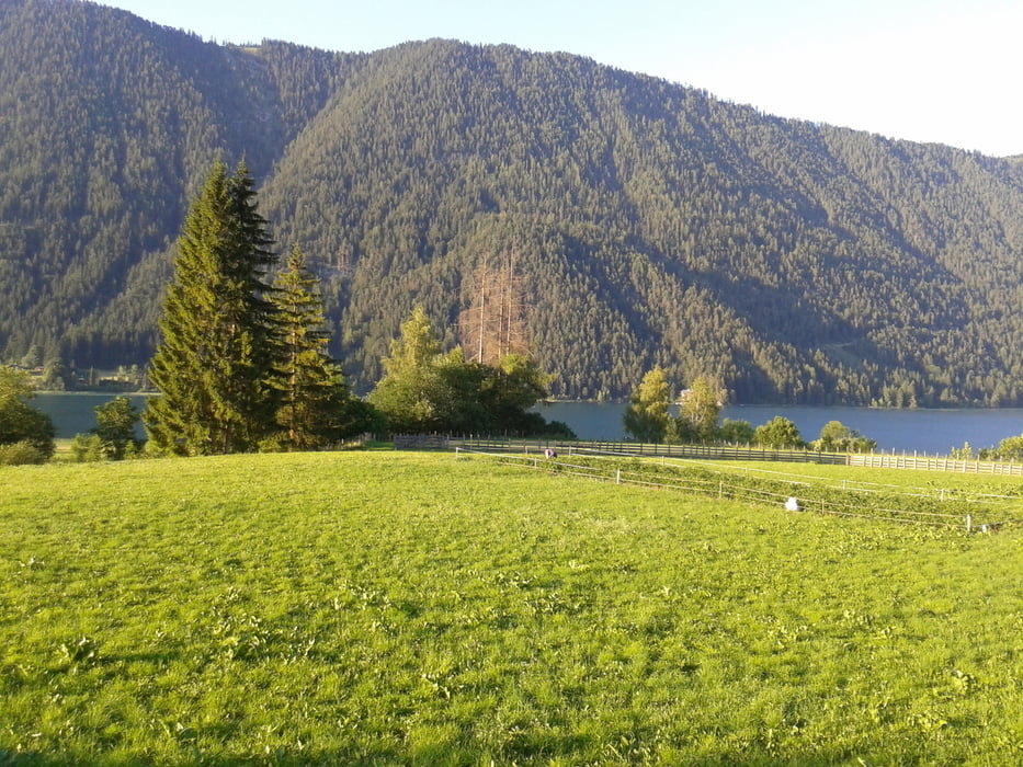
Vom Paterzipf mit dem Schiff zum Dolomitenblick.
Vom Dolomitenblick über die Stockenboierstraße Richtung Strandbad, danach dem
Wegweißer über die Forststraße nach Techendorf folgen.
In Techendorf über die Brücke und die Seeuferstraße zurück nach Naggl.
Mit dem Rad werden ca. 18km gefahren der Rest mit dem Schiff.
Fahrpreis pro Person und Rad 7,00€ (Sommer 2014)
Further information at
http://www.weissensee-schifffahrt.at/Tour gallery
Tour map and elevation profile
Minimum height 915 m
Maximum height 1217 m
More about the tour author
|
|
kersti |
Comments

Gebührenpflichtige Parkplätze in Naggl
GPS tracks
Trackpoints-
GPX / Garmin Map Source (gpx) download
-
TCX / Garmin Training Center® (tcx) download
-
CRS / Garmin Training Center® (crs) download
-
Google Earth (kml) download
-
G7ToWin (g7t) download
-
TTQV (trk) download
-
Overlay (ovl) download
-
Fugawi (txt) download
-
Kompass (DAV) Track (tk) download
-
Track data sheet (pdf) download
-
Original file of the author (gpx) download
More about the tour author
|
|
kersti |
Add to my favorites
Remove from my favorites
Edit tags
Open track
My score
Rate