


Start der Tour ist beim Umkehrplatz in Naggl.
Vor dem Schranken rechts über die Forststraße geht es vorbei am
Kraftsammelpunkt auf die Naggler Alm.
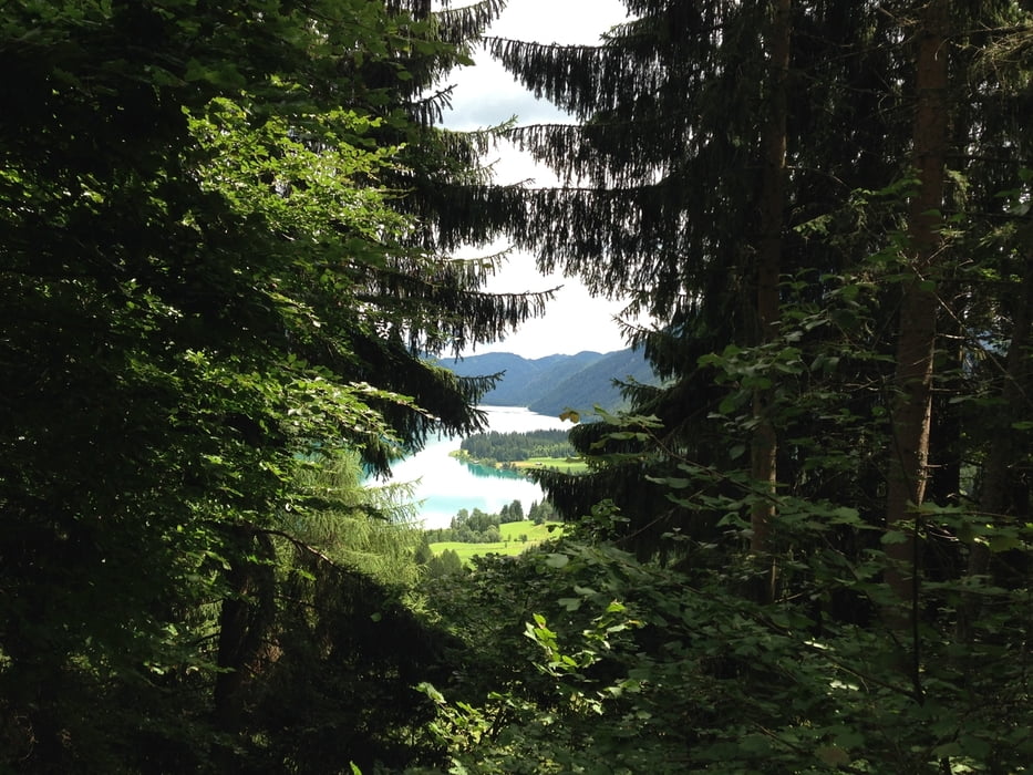
Auf der Naggler Alm der Forststraße weiter folgen (Richtung Techendorf),
nach ein paar Kehren Richtung Alte Mühle halten.
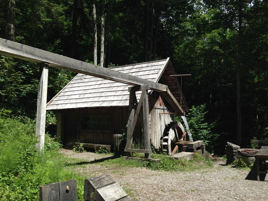
Die letzten ca.100m zur Mühle fährt man über einen wurzeligen Wanderweg.
Bei der Mühle vorbei über eine Holzbrücke und der Forststraße zurück nach Naggl.
Further information at
http://www.weissensee.com/Tour gallery
Tour map and elevation profile
Minimum height 955 m
Maximum height 1373 m
More about the tour author
|
|
kersti |
Comments

Gebührenpflichtige Parkplätze in Naggl
Vom Radverleih in Techendorf über die Brücke und die Seeuferstraße
nach Naggl sind es ca.3,5km.
GPS tracks
Trackpoints-
GPX / Garmin Map Source (gpx) download
-
TCX / Garmin Training Center® (tcx) download
-
CRS / Garmin Training Center® (crs) download
-
Google Earth (kml) download
-
G7ToWin (g7t) download
-
TTQV (trk) download
-
Overlay (ovl) download
-
Fugawi (txt) download
-
Kompass (DAV) Track (tk) download
-
Track data sheet (pdf) download
-
Original file of the author (gpx) download
More about the tour author
|
|
kersti |
Add to my favorites
Remove from my favorites
Edit tags
Open track
My score
Rate