Login

Forgot your login?

Cookies have to be accepted!
Your browser's cookie functionality is disabled. Please enable this functionality.

Not a member yet?

Register now
Login

Available for registred users only

Log in to use this feature.

Forgot your login?

Cookies have to be accepted!
Your browser's cookie functionality is disabled. Please enable this functionality.

Not a member yet?

Register now
Filter
Categories
Advanced filters
  • Distance (km)
  • Height
Save filters Reset filter

TrackRank

QRCode

Technical data

Distance20,1 km Height1841 m Way down1821 m Duration09:05 h:m Date19.07.2014
Scores Author User Landscape Fun factor Fitness Technique

Statistics

2392 Views 1 Score 172 Downloads 5.00 Average
Rate
  • Track data sheet
  • Directions
  • Downloads

Aufstieg: 4Std. 55min.

Abstieg: 3Std. 10min.

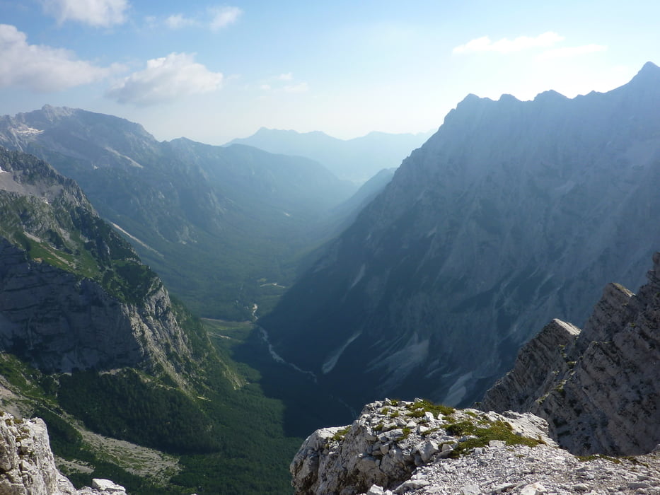
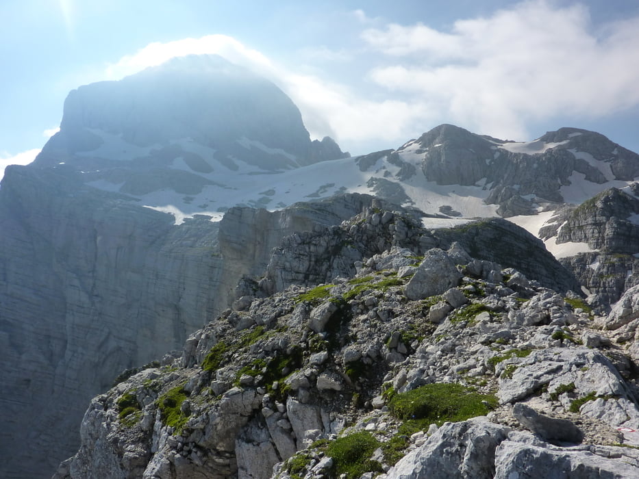
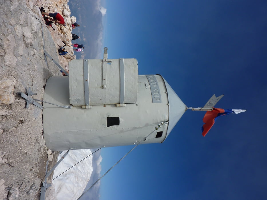
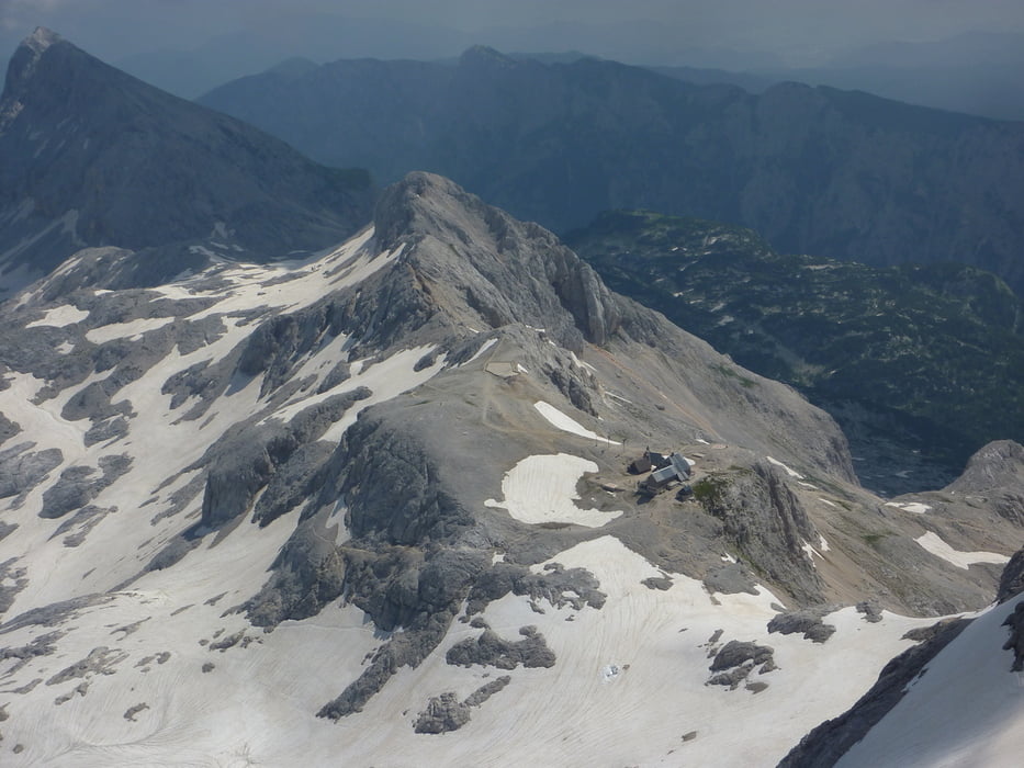
Triglav über Ostgrat Aljazev dom-Luknja-Bamberg Weg-Triglav Ostgrat-Triglavski dom-Prag Weg


Tour gallery

Tour map and elevation profile

  • Open Street Map
  • Google
Minimum height 936 m Maximum height 2736 m Detailed view

More about the tour author

harald07071
Member since 2008

Send private message

Comments

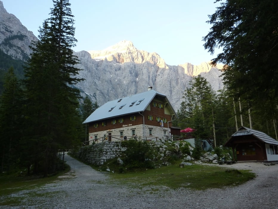
mit PW via Mojstrana ins Vrata-Tal bis zur Aljazev-Hütte


GPS tracks

Trackpoints
  • GPX / Garmin Map Source (gpx) download
  • TCX / Garmin Training Center® (tcx) download
  • CRS / Garmin Training Center® (crs) download
  • Google Earth (kml) download
  • G7ToWin (g7t) download
  • TTQV (trk) download
  • Overlay (ovl) download
  • Fugawi (txt) download
  • Kompass (DAV) Track (tk) download
  • Track data sheet (pdf) download
  • Original file of the author (gpx) download

More about the tour author

harald07071
Member since 2008

Send private message
Share track
Add to my favorites
Remove from my favorites
Edit tags
My score
Rate
Track: Triglav (2864m)
Type: Via ferrata
Distance: 20,1 km
Evaluated on:
Duration:
Day(s)
Hour(s)
Minute(s)
Score: Landscape Fun factor Fitness Technique