
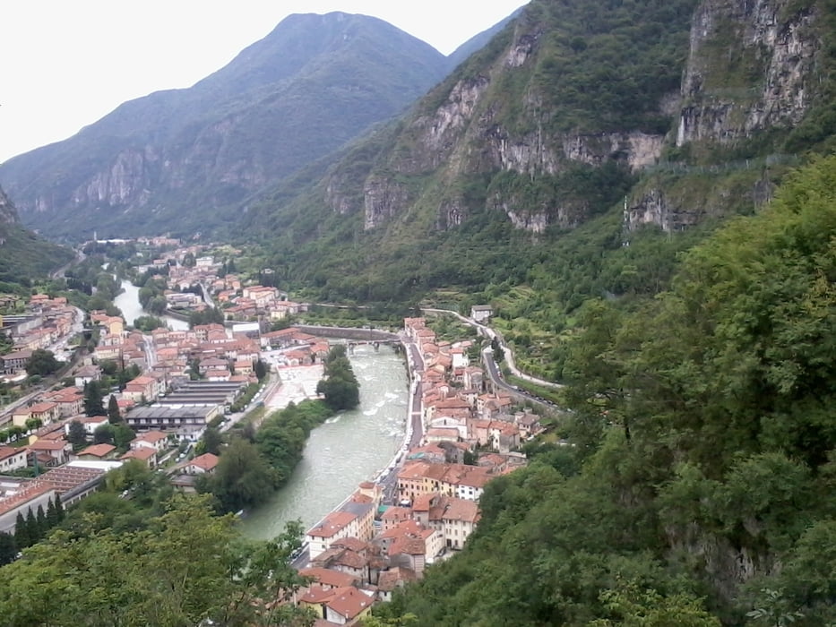

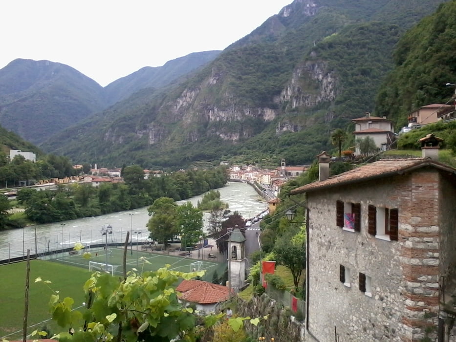
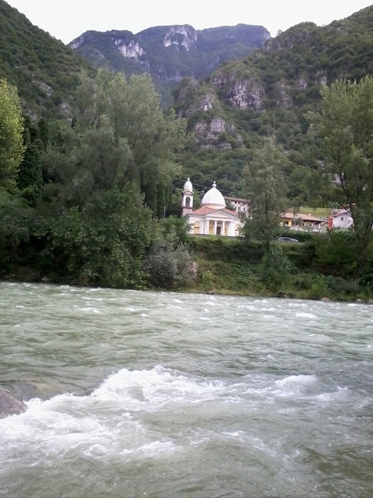
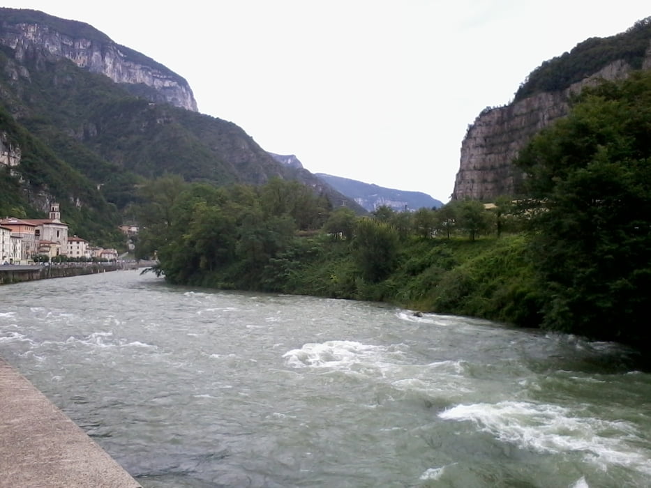
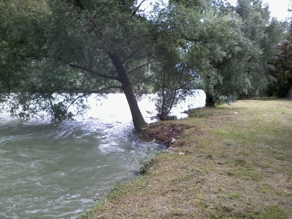
Gratificante passeggiata effettuata nella parte alta del paese di Valstagna e lungo il fiume Brenta.
Snodando vecchie vie del tabacco alle pendici est dell’Altopiano di Asiago. Sentieri denominati in questo modo in quanto anni orsono erano percorsi che effettuavano i contrabbandieri per sfuggire ai controllo.
Further information at
http://www.magicoveneto.it/valsugan/Valstagna/Valstagna.htmTour gallery
Tour map and elevation profile
Minimum height 122 m
Maximum height 295 m
More about the tour author
|
|
agosflavio |
Comments

A Bassano del Grappa, si prende direzione Trento; a quasi 15 km in località Carpenè si svolta a sinistra attraversando il fiume Brenta: siamo a Valstagna.
GPS tracks
Trackpoints-
GPX / Garmin Map Source (gpx) download
-
TCX / Garmin Training Center® (tcx) download
-
CRS / Garmin Training Center® (crs) download
-
Google Earth (kml) download
-
G7ToWin (g7t) download
-
TTQV (trk) download
-
Overlay (ovl) download
-
Fugawi (txt) download
-
Kompass (DAV) Track (tk) download
-
Track data sheet (pdf) download
-
Original file of the author (gpx) download
More about the tour author
|
|
agosflavio |
Add to my favorites
Remove from my favorites
Edit tags
Open track
My score
Rate