


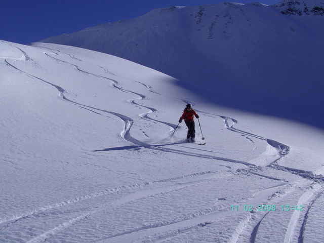
1183 Hm Aufstieg, 2000 Hm Abfahrt. Die Tour beginnt in Baad im Kleinwalsertal. Zunächst auf die Güntlespitze Aufstieg 850 Hm. Nach Überschreitung des Gipfels nach SW in das Häfnerjoch, dann zuerst nach N und später nach W bis Schoppernau. Hier mit dem Postbus (vorher Abfahrtszeiten einholen ÖBB Postbus über Internet) zum Hochtannbergpass Haltestelle Saloberlift. Ab hier nochmal Felle anschnallen und gute 300 Hm Aufstieg zum Hochalppass, Abfahrt nach Baad zum Ausgangspunkt.
Tour gallery
Tour map and elevation profile
Minimum height 839 m
Maximum height 2096 m
More about the tour author
|
|
yr1willi |
Comments

von Kempten im Allgäu über Immenstadt, Sonthofen in das kleine Walsertal nach Baad. Hier gute Parkmöglichkeit gebührenpflichtig.
GPS tracks
Trackpoints-
GPX / Garmin Map Source (gpx) download
-
TCX / Garmin Training Center® (tcx) download
-
CRS / Garmin Training Center® (crs) download
-
Google Earth (kml) download
-
G7ToWin (g7t) download
-
TTQV (trk) download
-
Overlay (ovl) download
-
Fugawi (txt) download
-
Kompass (DAV) Track (tk) download
-
Track data sheet (pdf) download
-
Original file of the author (g7t) download
More about the tour author
|
|
yr1willi |
Add to my favorites
Remove from my favorites
Edit tags
Open track
My score
Rate