


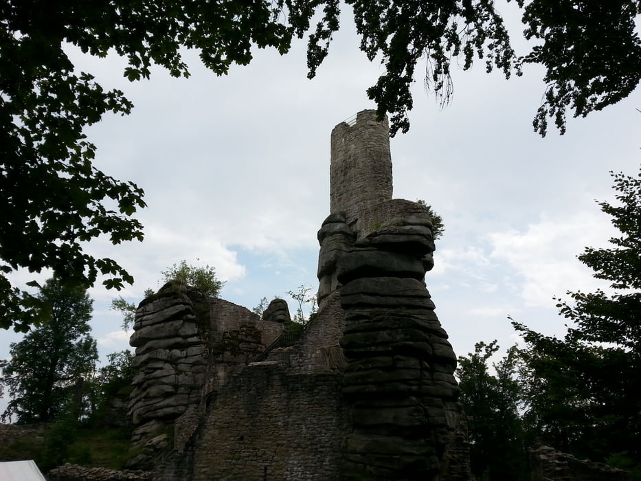
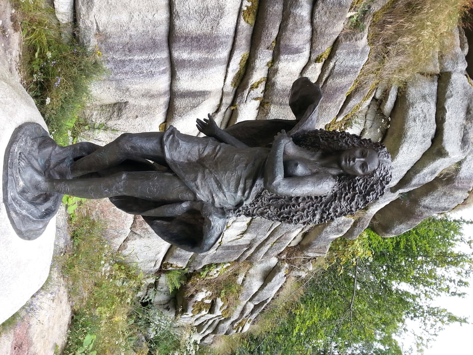
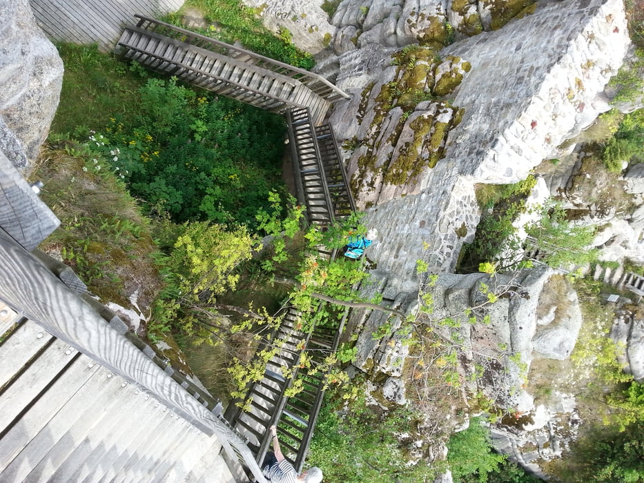
Eine einsame Wanderung auf der man zwischen Waldershof und der Platte kaum jemand begegnet. Das kommt wahrscheinlich auch daher, dass die frühere Blaustrich-Markierung fast völlig verloren gegangen ist. Man sollte also tunlichst eine gute Karte und ein GPS-Gerät dabei haben. Auf dem Aussichtsturm auf der Platte wird man mit einer fantastischen Aussicht belohnt. Der Bereich zwischen der Platte und dem Marktredwitzer Haus ist dann gut markiert und auch etwas mehr begangen. Eine lohnende Wanderung für Liebhaber einsamer Natur.
Tour gallery
Tour map and elevation profile
Minimum height 550 m
Maximum height 971 m
More about the tour author

|
klauswurzelseppi |
Comments

GPS tracks
Trackpoints-
GPX / Garmin Map Source (gpx) download
-
TCX / Garmin Training Center® (tcx) download
-
CRS / Garmin Training Center® (crs) download
-
Google Earth (kml) download
-
G7ToWin (g7t) download
-
TTQV (trk) download
-
Overlay (ovl) download
-
Fugawi (txt) download
-
Kompass (DAV) Track (tk) download
-
Track data sheet (pdf) download
-
Original file of the author (gpx) download
More about the tour author
|
|
klauswurzelseppi |
Add to my favorites
Remove from my favorites
Edit tags
Open track
My score
Rate