
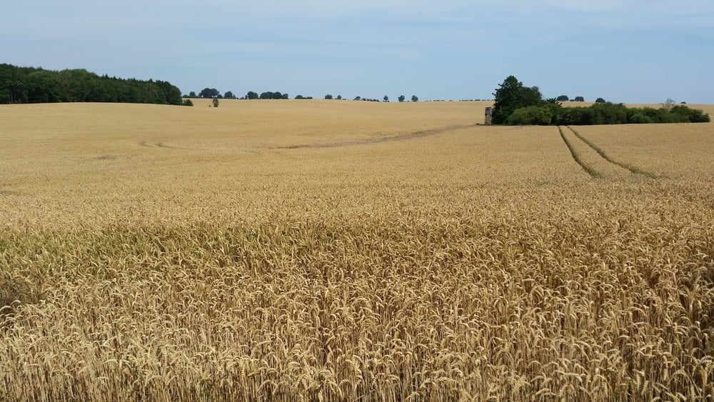

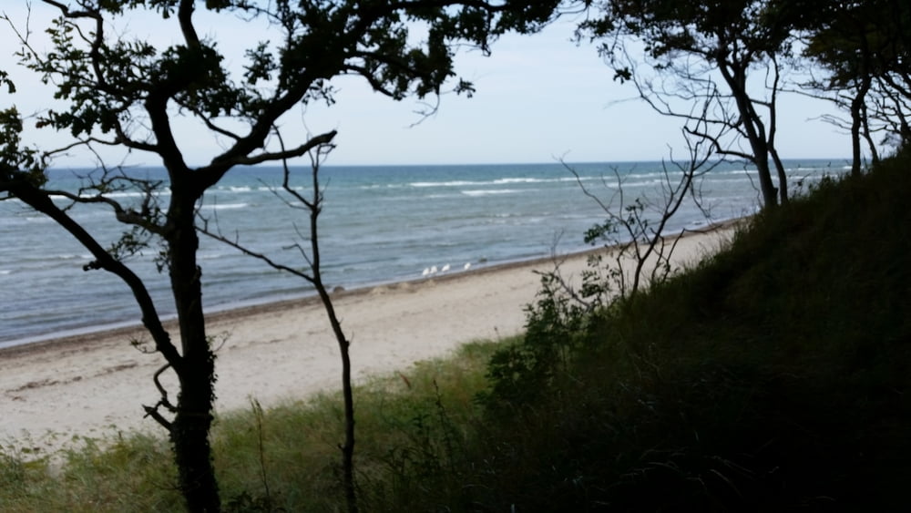
Startpunkt in Harkensee, zunächst Richtung Neuenhagen dann weiter in den Lenorenwald, In Richtung der Imkerei. Nachdem diese passiert ist immer weiter geradeaus und dann auf dem nächsten größeren Waldweg weiter Richtung Goldbeck. Von dort aus weiter Richtung Klütz und unterhalb der Mühle entland Richtung Redewisch. Über Redewisch Ausbau geht es dann auf den Ostsee-Radweg. Entlang der Steilküste im Klützer Winkel geht es dann bis zum Abzweig Bärendorf/Harkensee zurück.
Further information at
http://www.kluetz-ostsee.de/Tour gallery

Tour map and elevation profile
Minimum height 18 m
Maximum height 109 m
More about the tour author
|
|
Oehli |
Comments

Startpunkt ist in Harkensee in der Friedenstrasse.
GPS tracks
Trackpoints-
GPX / Garmin Map Source (gpx) download
-
TCX / Garmin Training Center® (tcx) download
-
CRS / Garmin Training Center® (crs) download
-
Google Earth (kml) download
-
G7ToWin (g7t) download
-
TTQV (trk) download
-
Overlay (ovl) download
-
Fugawi (txt) download
-
Kompass (DAV) Track (tk) download
-
Track data sheet (pdf) download
-
Original file of the author (gpx) download
More about the tour author
|
|
Oehli |
Add to my favorites
Remove from my favorites
Edit tags
Open track
My score
Rate