Login

Forgot your login?

Cookies have to be accepted!
Your browser's cookie functionality is disabled. Please enable this functionality.

Not a member yet?

Register now
Login

Available for registred users only

Log in to use this feature.

Forgot your login?

Cookies have to be accepted!
Your browser's cookie functionality is disabled. Please enable this functionality.

Not a member yet?

Register now
Filter
Categories
Advanced filters
  • Distance (km)
  • Height
Save filters Reset filter

TrackRank

QRCode

Technical data

Distance25,2 km Height743 m Way down745 m Duration02:30 h:m Date04.08.2014
Scores Author Landscape Fun factor Fitness Technique

Statistics

324 Views Scores 30 Downloads Average
Rate
  • Track data sheet
  • Directions
  • Downloads

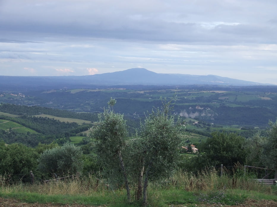
Kleine und technisch leichte Runde zum Monte Peglia. Die Route verläuft auf Asphalt und Schotterwegen und stellt keine besonderen technischen Ansprüche dar. Sehr schön ist die Aussicht am Monte Peglia sowie Prodo.


Tour gallery

Tour map and elevation profile

  • Open Street Map
  • Google
Minimum height 423 m Maximum height 825 m Detailed view

More about the tour author

churchner74
Member since 2008

Send private message

Comments

Von Orvieto nach Colonetta die Prodo. Start dort an der Kreuzung im Ort.


GPS tracks

Trackpoints
  • GPX / Garmin Map Source (gpx) download
  • TCX / Garmin Training Center® (tcx) download
  • CRS / Garmin Training Center® (crs) download
  • Google Earth (kml) download
  • G7ToWin (g7t) download
  • TTQV (trk) download
  • Overlay (ovl) download
  • Fugawi (txt) download
  • Kompass (DAV) Track (tk) download
  • Track data sheet (pdf) download
  • Original file of the author (gpx) download

More about the tour author

churchner74
Member since 2008

Send private message
Share track
Add to my favorites
Remove from my favorites
Edit tags
My score
Rate
Track: Zum Monte Peglia
Type: Mountain bike
Distance: 25,2 km
Evaluated on:
Duration:
Day(s)
Hour(s)
Minute(s)
Score: Landscape Fun factor Fitness Technique