
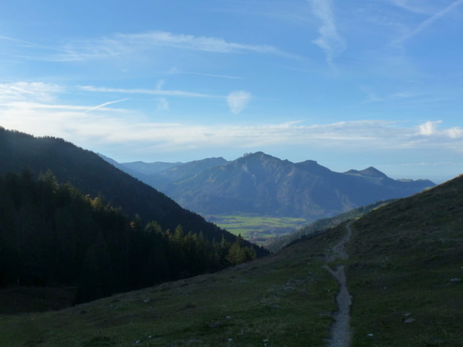

Von Aschau gemütlich über Radwege nach Marquartstein, dann knackige Auffahrt zur Jochbergalm (Einkehr möglich).Steile Abfahrt über die Wiese in Richtung Röthelmoos. Von dort über den Weitsee (Bademöglichkeit) und auf der "Langlaufloipe" nach Reit im Winkl. Von dort über Kössen zurück zum Start.
Wer Lust und genügend Power hat, fährt in Kössen in Richtung Schleching und gibt sich dort die Auffahrt zur Dalsenalm. Die Abfahrt über den Klausgraben nach Hainbach ist jedoch mit einem Crosser eher grenzwertig...
Tour map and elevation profile
Minimum height 532 m
Maximum height 1243 m
More about the tour author
|
|
CF2008 |
Comments

GPS tracks
Trackpoints-
GPX / Garmin Map Source (gpx) download
-
TCX / Garmin Training Center® (tcx) download
-
CRS / Garmin Training Center® (crs) download
-
Google Earth (kml) download
-
G7ToWin (g7t) download
-
TTQV (trk) download
-
Overlay (ovl) download
-
Fugawi (txt) download
-
Kompass (DAV) Track (tk) download
-
Track data sheet (pdf) download
-
Original file of the author (gpx) download
More about the tour author
|
|
CF2008 |
Add to my favorites
Remove from my favorites
Edit tags
Open track
My score
Rate