Login

Forgotten password?

Cookies have to be accepted!
Your browser's cookie functionality is disabled. Please enable this functionality.

Not a member yet?

Register now
Login

Available for registred users only

Log in to use this feature.

Forgotten password?

Cookies have to be accepted!
Your browser's cookie functionality is disabled. Please enable this functionality.

Not a member yet?

Register now
Filter
Categories
Advanced filters
  • Distance (km)
  • Height
Save filters Reset filter

TrackRank

QRCode

Technical data

Distance24,8 km Height1198 m Way down1074 m Duration02:37 h:m Date06.08.2014
Scores Author Landscape Fun factor Fitness Technique

Statistics

368 Views Scores 60 Downloads Average
Rate
  • Track data sheet
  • Directions
  • Downloads
  • Start/Ziel: Meran/Marling, Hotel Marlingerhof an der Marlingerbrücke
  • Rundkurs im Uhrzeigersinn.
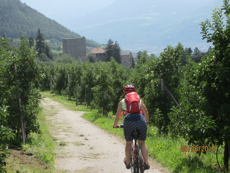
  • Von KM 0    bis  KM  16   MH 300 bis MH 1.448  Uphill zum Familienhotel Taser auf Radweg, bzw. geteerten Nebenstrassen.
  • Abfahrt bis ins Tal auf leicht befahrbarer Rodelbahn; Forststrasse; kurzem Singltrail u. Radweg.
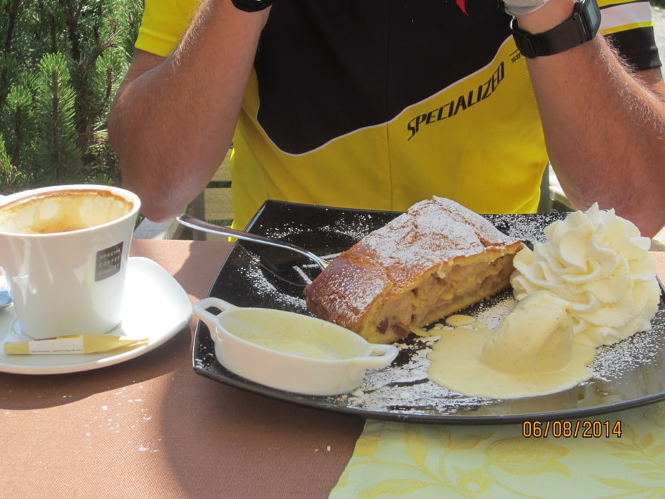
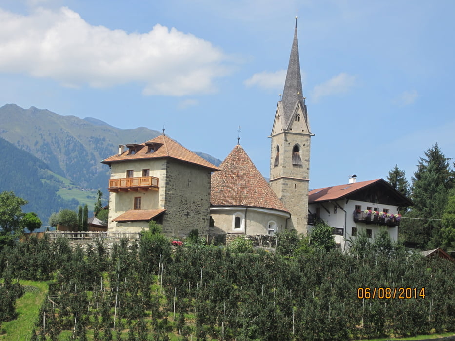
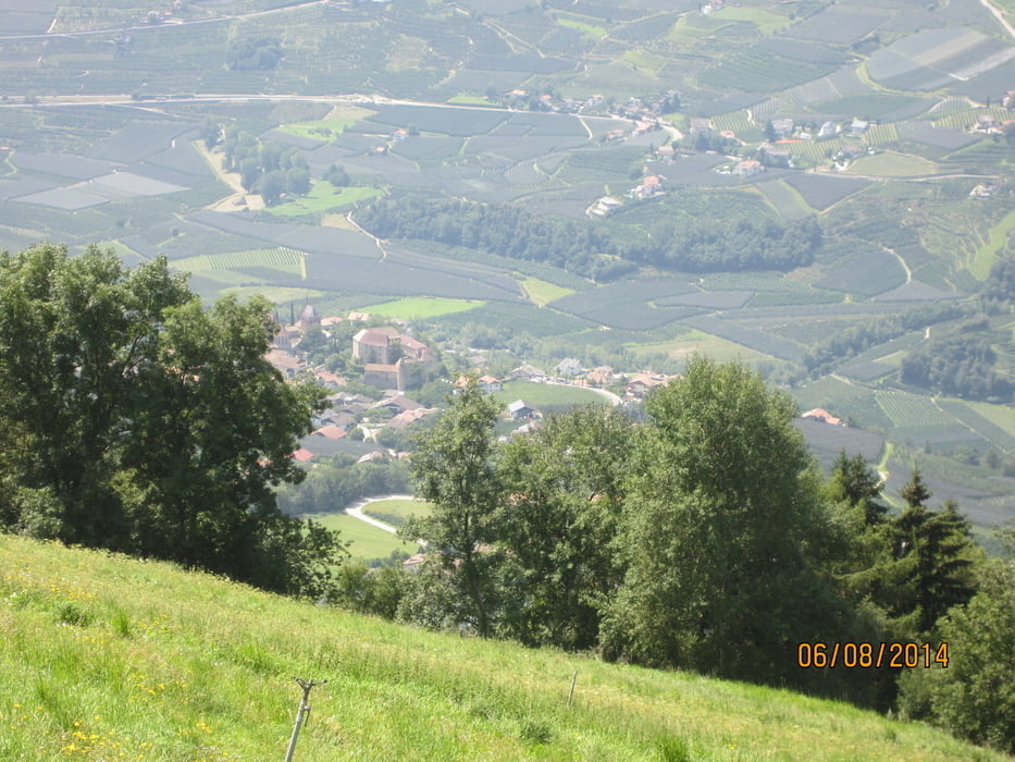
Tour gallery

Tour map and elevation profile

  • Open Street Map
  • Google
Minimum height 103 m Maximum height 1452 m Detailed view

More about the tour author

MargesinFriedrich
Member since 2012

Send private message

Comments

Guest on 31.03.2016

gute Tour ab Ende März

Die Auffahrt geht fast nur auf Teer; aber die Abfahrt durch den Wald ist abwechlungsreich und entschädigt für die Strapazen.
Gefahren am 31.03.16

GPS tracks

Trackpoints
  • GPX / Garmin Map Source (gpx) download
  • TCX / Garmin Training Center® (tcx) download
  • CRS / Garmin Training Center® (crs) download
  • Google Earth (kml) download
  • G7ToWin (g7t) download
  • TTQV (trk) download
  • Overlay (ovl) download
  • Fugawi (txt) download
  • Kompass (DAV) Track (tk) download
  • Track data sheet (pdf) download
  • Original file of the author (gpx) download

More about the tour author

MargesinFriedrich
Member since 2012

Send private message
Share track
Add to my favorites
Remove from my favorites
Edit tags
My score
Rate
Track: Meran-Taser-Meran
Type: Mountain bike
Distance: 24,8 km
Evaluated on:
Duration:
Day(s)
Hour(s)
Minute(s)
Score: Landscape Fun factor Fitness Technique