


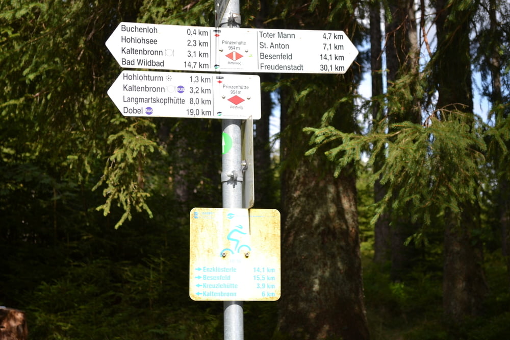
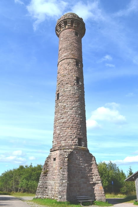
Start im Enztal beim Sportplatz in Neuenbürg. Zunächst geht hinauf zu Schwarter Wanne und dann weiter teils auf dem Westweg nach Dobel. Von Dobel hinab nach Bad Herrenalb. Dann geht kräftig aufwärts zur Teufelsmühle. Dann hinab ins Murgtal nach Gernsbach. Der Murg entlang nach Gausbach. Hier folgt dann der letzte lange Anstieg zur Prinzenhütte. Am Hohloh-Turm vorbei und hinab ins Eyach-Tal zum Ausgangspunkt zurück. Fahrtechnisch einfach- konditionell nicht ohne.Die Tour kann grundsätzlich in beiden Fahrrichtungen gefahren werden- empfehlenswerte ist jedoch die von mir gewählte Fahrrichtung gegen den Uhrzeigersinn.
Tour gallery

Tour map and elevation profile
Minimum height 165 m
Maximum height 982 m
More about the tour author
|
|
Hemmingen |
Comments

Parkplatz am Sportplatz
GPS tracks
Trackpoints-
GPX / Garmin Map Source (gpx) download
-
TCX / Garmin Training Center® (tcx) download
-
CRS / Garmin Training Center® (crs) download
-
Google Earth (kml) download
-
G7ToWin (g7t) download
-
TTQV (trk) download
-
Overlay (ovl) download
-
Fugawi (txt) download
-
Kompass (DAV) Track (tk) download
-
Track data sheet (pdf) download
-
Original file of the author (gpx) download
More about the tour author
|
|
Hemmingen |
Add to my favorites
Remove from my favorites
Edit tags
Open track
My score
Rate