


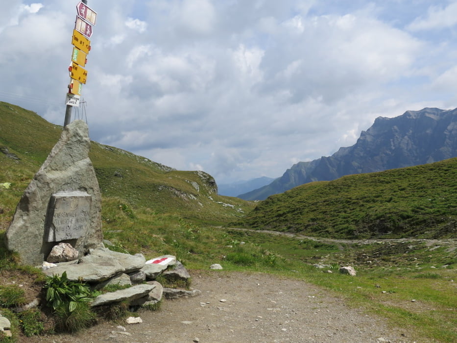
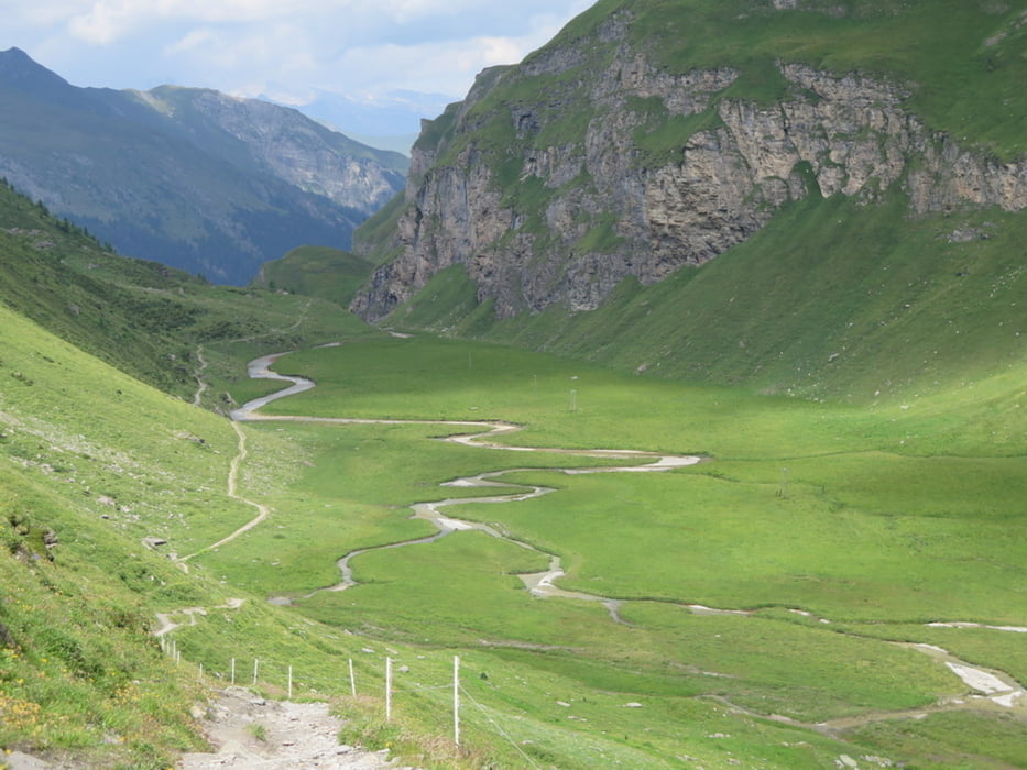
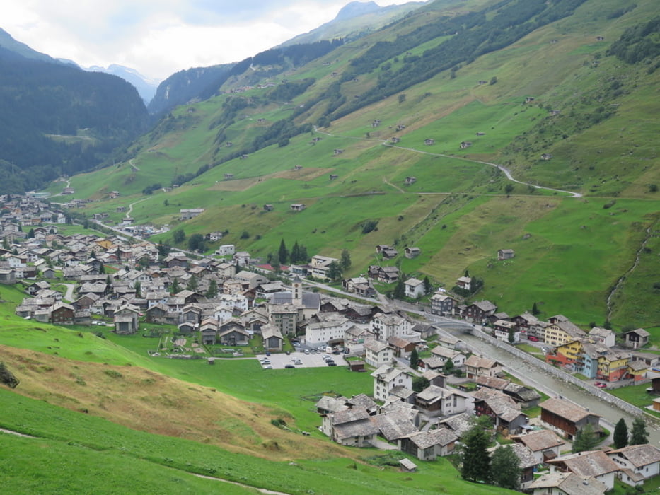
Der breite Weg führt gleichmässig steigend von Turahus bis zur Passhöhe. Der Abstieg über die Alp Tomül ist ebenfalls angenehm. Steil wird es dann für die letzten 600 Höhenmeter Abstieg nach Vals hinunter. Mein GPS hat in der Schlucht unter der Alp Tomül und auch im Talboden des Valsertales nicht immer 4 Satelliten empfangen und daher gespukt. Der Track ist diesbezüglich korrigiert. Dieser Pass ist offenbar auch bei Bikern beliebt.
Landeskarte der Schweiz, 1:25000, Blatt 1234 Vals
Fahrpläne siehe weitere Informationen.
Further information at
http://fahrplan.sbb.ch/bin/query.exe/dnTour gallery
Tour map and elevation profile
Minimum height 1224 m
Maximum height 2412 m
More about the tour author
|
|
mabrueckner |
Comments

Anfahrt: Von Ilanz oder Chur mit RhB nach Versam/Safien und von dort mit Postauto nach "Thalkirch, Turahus"
Rückfahrt mit Postauto ab "Vals, Post" nach Ilanz/Chur
Rückfahrt mit Postauto ab "Vals, Post" nach Ilanz/Chur
GPS tracks
Trackpoints-
GPX / Garmin Map Source (gpx) download
-
TCX / Garmin Training Center® (tcx) download
-
CRS / Garmin Training Center® (crs) download
-
Google Earth (kml) download
-
G7ToWin (g7t) download
-
TTQV (trk) download
-
Overlay (ovl) download
-
Fugawi (txt) download
-
Kompass (DAV) Track (tk) download
-
Track data sheet (pdf) download
-
Original file of the author (gpx) download
More about the tour author
|
|
mabrueckner |
Add to my favorites
Remove from my favorites
Edit tags
Open track
My score
Rate