Login

Forgot your login?

Cookies have to be accepted!
Your browser's cookie functionality is disabled. Please enable this functionality.

Not a member yet?

Register now
Login

Available for registred users only

Log in to use this feature.

Forgot your login?

Cookies have to be accepted!
Your browser's cookie functionality is disabled. Please enable this functionality.

Not a member yet?

Register now
Filter
Categories
Advanced filters
  • Distance (km)
  • Height
Save filters Reset filter

TrackRank

QRCode

Technical data

Distance32,6 km Height726 m Way down682 m Duration02:30 h:m Date09.08.2014
Scores Author User Landscape Fun factor Fitness Technique

Statistics

336 Views Scores 24 Downloads Average
Rate
  • Track data sheet
  • Directions
  • Downloads

Start in Metzingen oder am Egerhof in Eningen.

Über den Paul Jauch  Weg zum oberen Lindenhof dannweiter über Marbachgestütsgasthof zu den Höllenlöchern.dann über Neuhausen nach Metzingen zurück
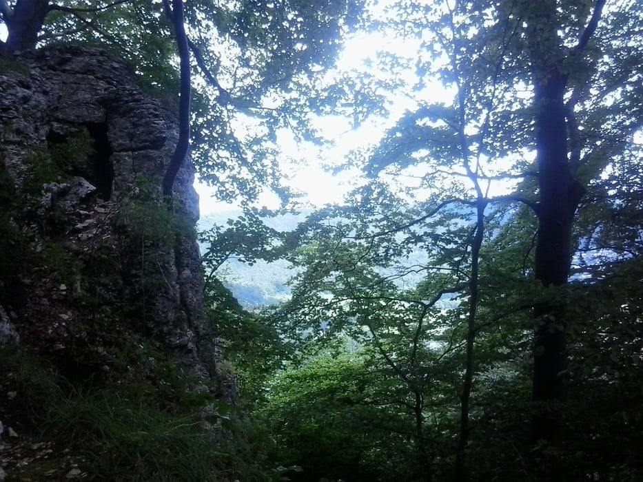


Tour gallery

Tour map and elevation profile

  • Open Street Map
  • Google
Minimum height 321 m Maximum height 807 m Detailed view

More about the tour author

Cokedealer
Member since 2013

Send private message

Comments

GPS tracks

Trackpoints
  • GPX / Garmin Map Source (gpx) download
  • TCX / Garmin Training Center® (tcx) download
  • CRS / Garmin Training Center® (crs) download
  • Google Earth (kml) download
  • G7ToWin (g7t) download
  • TTQV (trk) download
  • Overlay (ovl) download
  • Fugawi (txt) download
  • Kompass (DAV) Track (tk) download
  • Track data sheet (pdf) download
  • Original file of the author (gpx) download

More about the tour author

Cokedealer
Member since 2013

Send private message
Share track
Add to my favorites
Remove from my favorites
Edit tags
My score
Rate
Track: Paul-Jauch-Weg zu den Höllenlöchern
Type: Mountain bike
Distance: 32,6 km
Evaluated on:
Duration:
Day(s)
Hour(s)
Minute(s)
Score: Landscape Fun factor Fitness Technique