


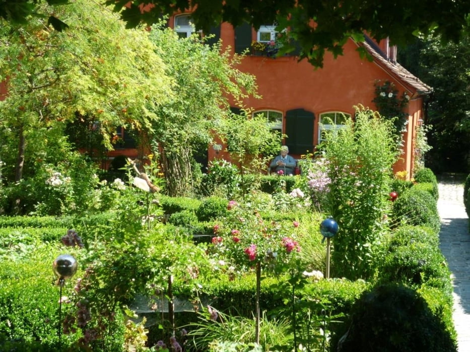
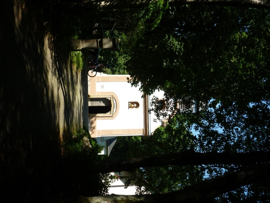
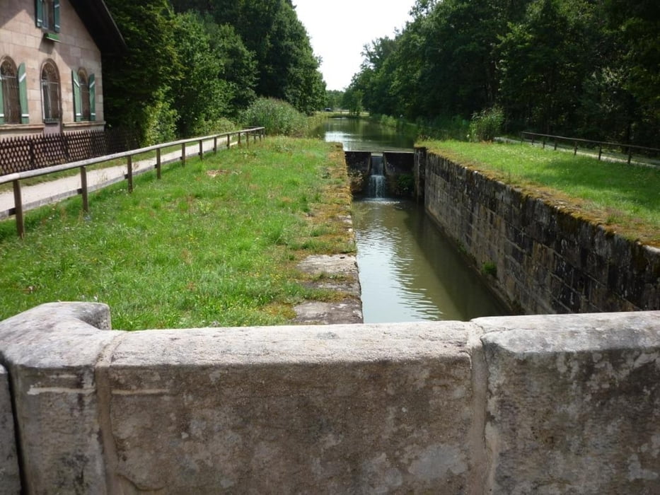
Die Tour führt von Wendelstein Ortsteil Röthenbach b. St. Wolfgang – Raubersried - Furth - Harlach - zum Rothsee und von dort über Allersberg - Neuhof - Oberhembach - Neumühle - Dürrenhembach - Schleuse 52 - Ludwig Donau Main Kanal (Alten Kanal) zurück zum Ausgangspunkt. Die Tour ist nicht schwierig, meist auf befestigten Waldwegen. Sie ist landschaftlich schön. Es gibt unterwegs eine Reihe von Biergärten für die Stärkung.
Aufgezeichnet wurde Sie gegen den Uhrzeigersinn kann aber auch im Uhrzeigersinn gefahren werden.
Aufgezeichnet wurde Sie gegen den Uhrzeigersinn kann aber auch im Uhrzeigersinn gefahren werden.
Tour gallery

Tour map and elevation profile
Minimum height 324 m
Maximum height 474 m
More about the tour author
|
|
Shaolin |
Comments

Startpunkt ist 90530 Wendelstein Ortsteil Röthenbach bei St. W. in der Feuchter Str. bei der Feuerwehr
GPS tracks
Trackpoints-
GPX / Garmin Map Source (gpx) download
-
TCX / Garmin Training Center® (tcx) download
-
CRS / Garmin Training Center® (crs) download
-
Google Earth (kml) download
-
G7ToWin (g7t) download
-
TTQV (trk) download
-
Overlay (ovl) download
-
Fugawi (txt) download
-
Kompass (DAV) Track (tk) download
-
Track data sheet (pdf) download
-
Original file of the author (gpx) download
More about the tour author
|
|
Shaolin |
Add to my favorites
Remove from my favorites
Edit tags
Open track
My score
Rate